What is recorded here
Situated on the summit of an ENE-WSW ridge. It is not depicted on any map but was described in 1969 (SMR file) as a circular grass-covered area (diam. 39.5m N-S; 36.5m E-W) defined by a fosse (at N: Wth of top 8m; Wth of base 3m; int. D 0.5m; ext. D 0.3m) from an outer bank (at N: Wth of base 6m; Wth of top 2.5m; ext. H 0.1m). There was no visible entrance. It is a faint feature but it is visible on Bing images (c. 2013) and Google Earth (24/03/2017; 17/07/2017).
The above description is derived from the published 'Archaeological Inventory of County Meath' (Dublin: Stationery Office, 1987). In certain instances the entries have been revised and updated in the light of recent research.
Compiled by: Michael Moore
Date of revision: 27 February 2019
A Neolithic ring-barrow; its presence indicates early burial practices in the region. The structure's alignment and location on a prominent ridge suggest ceremonial or ritual significance.
The monument record does not grant public access. Check the route and ask the landowner before entering private land.
- What survives
- Recorded monument
Places near here
 Stone CrossCross, Wayside cross · 1159 yd
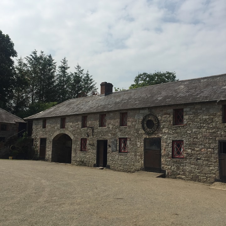 Casserly's WoodWood · 1334 yd
 IndicatedHoly well · 1622 yd
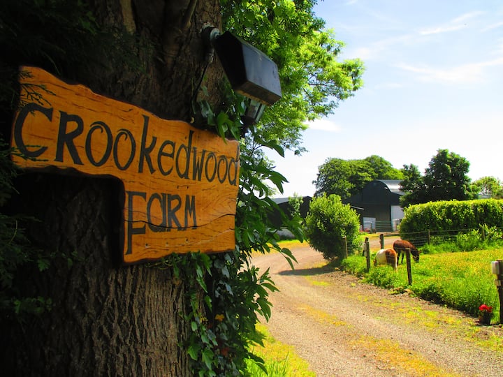 Rathouse WoodWood · 1657 yd
 Round TowerCastle, tower house · 1.0 mi
 CloncatMountain / peak · 1.1 mi
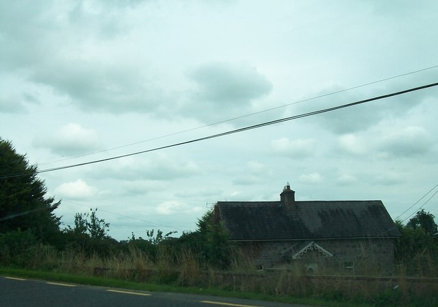 Laurence Lodgeworker's house · 1.5 mi
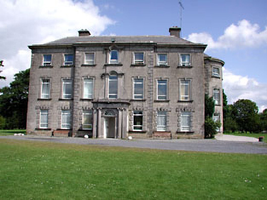 Drewstown Housecountry house · 1.6 mi
 Drewstown LittleMountain / peak · 1.8 mi
 BoglandMemorial · 2.1 mi
 CastleCastle, motte · 2.2 mi
 Causey FarmHeritage attraction · 2.6 mi