What is recorded here
On a level terrace at the N end of a field that slopes gently to E. A flat platform (diam. c. 9m) enclosed by a fosse (Wth 1m; int. D 0.2m; ext. D 0.3m) and outer bank (Wth 1.5m; int. H 0.3m; ext. H 0.3m). The bank consists largely of stone, and the fosse is wet in places. The area, known locally as a 'rath', is left rough and untouched due to local superstition.
Compiled by: Mary Tunney
Date of upload: 15 January 2013
The monument record does not grant public access. Check the route and ask the landowner before entering private land.
- What survives
- Recorded monument
Places near here
 IndicatedEnclosure · 1010 yd
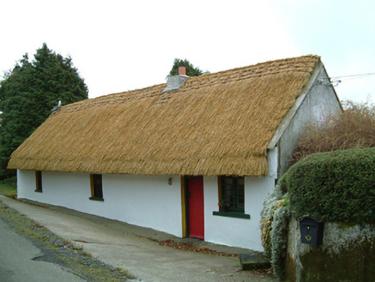 Maherhouse · 1.2 mi
 ToberpatrickHoly well · 1.7 mi
 Kane's Bridgebridge · 1.8 mi
 SycamoreSycamore · 2.0 mi
 Gleann Dick ForestForest · 2.6 mi
 Freneystown CastleCastle, tower house · 2.7 mi
 St. Mogarra’s WellSpring · 3.2 mi
 Clara CastleCastle, tower house · 3.4 mi
 Edward BurkeMemorial · 5.1 mi
 Dunmore CavesCave · 5.1 mi
 Cave of DunmoreCave · 5.1 mi