What is recorded here
Situated on a broad SE-NW ridge or spur in a low-lying landscape with a small E-W stream curving around the point on the N side and turning S into a mill-pond. This is a circular grass-covered area (diam. 4.3m) defined by a rounded fosse (Wth of top 4.2-4.5m; int. D 0.5-0.6m; ext. D 0.9-1m) and an outer bank (Wth of base 4.5-5.6m; ext. H 0.4-0.7m) with bushes (max. ext. diam. 18.6m NW-SE). There is a causeway (Wth of top 1.2m; H 0.6m) and entrance (Wth 2.6m) through the bank at WNW marked by stones. Revised by: Michael Moore
Date of revision: 30 January 2018
Situated on a broad SE-NW ridge or spur in a low-lying landscape with a small E-W stream curving around the point on the N side and turning S into a mill-pond. This is a circular grass-covered area (diam. 4.3m) defined by a rounded fosse (Wth of top 4.2-4.5m; int. D 0.5-0.6m; ext. D 0.9-1m) and an outer bank (Wth of base 4.5-5.6m; ext. H 0.4-0.7m) with bushes (max. ext. diam. 18.6m NW-SE). There is a causeway…
From the National Monuments Service (Archaeological Survey of Ireland) record MO027-009
The monument record does not grant public access. Check the route and ask the landowner before entering private land.
- What survives
- Recorded monument
Places near here
Photo credits
- National Inventory of Architectural Heritage
- Wanfried-Dublin, Wikimedia Commons · CC BY-SA 4.0
- Oliver Dixon, Geograph · CC BY-SA 2.0
- Dean Molyneaux, Wikimedia Commons · CC BY-SA 2.0
- Shane Killen, Wikimedia Commons · CC BY-SA 2.0
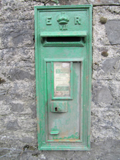 post box263 yd
 presbytery/parochial/curate's house274 ydNot indicatedHut site · 926 ydTally WoodWood · 1196 ydLough Egish IslandIslet · 1.3 miFincarn HillMountain / peak · 3.7 mi
 Wedge tomb in LisnadarraghWedge tomb · 4.0 miCarrickcreenyMountain / peak · 4.6 miTobernagalliaghSpring · 4.7 mi
 Bush IslandIslet · 5.0 mi
 Blaney CastleCastle · 5.9 mi
 Lough MucknoLake and park landscape · 6.4 mi
More archaeology and monuments in County Monaghan · All of County Monaghan
What do you know about this place?