What is recorded here
On the edge of a high bluff on the N bank of the estuary of the Kilcolgan River. A circular area (diam. 19m) is defined by a deep steep-sided fosse with an external earthen bank. Though Redington (1912, 176) mentioned ‘a circular bank … within it’, McCaffrey (1952, 202, no. 20) noted the absence of any internal bank. The interior is uneven. A laneway cuts across the monument from SE to NW; to its SW only slight traces of the fosse survive on the cliff edge.
Compiled by: Galway Archaeological Survey, UCG
Date of upload: 31 July 2019
Ring-barrow, likely dating to the Early Bronze Age. Its construction as a circular barrow with a fosse and external bank reflects a significant burial tradition in the Irish landscape.
The monument record does not grant public access. Check the route and ask the landowner before entering private land.
- What survives
- Recorded monument
Places near here
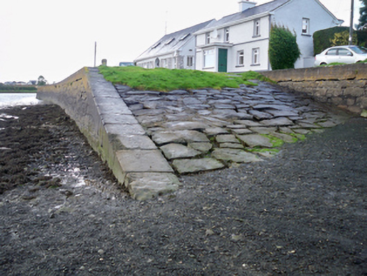 quay/wharfquay/wharf · 361 yd
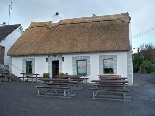 M. Moranhouse · 429 yd
 Rahaneena FortFairy fort / earthen ringfort · 501 yd
 Grave YardGraveyard · 711 yd
 Site of Kilcolgan CastleCastle, tower house · 1532 yd
 Drumacoo Monastic SiteHeritage attraction · 1588 yd
 MweenisharanIslet · 1.8 mi
 Bawn in Cregganna MoreBawn · 2.0 mi
 Kilcornan ForestWood · 2.0 mi
 Loughaun WoodWood · 2.0 mi
 Mweenish PointHeadland · 2.9 mi
 Fiddaun IslandIslet · 3.0 mi