What is recorded here
Marked only on the 1914 ed. of the OS 6-inch map, and situated on top of an E-W ridge. Circular grass-covered platform (diam. 6.5m E-W; 5.5m N-S; H 0.1-0.3m) defined by a fosse (Wth of top 3.2-3.8m; D 0.1-0.35m) SE-W-NE, and an outer bank (Wth 2.1m; int. H 0.4m; ext. H 0.2-0.3m) SE-S and at NE. Barrow (RO006-135002-) is 10m to the WNW. These monuments are particularly visible on Google Earth (18/03/2019). Archaeological testing (15E0105) c. 40m to the W produced no related material (Quinn 2015). See: excavations.ie 2015:149.
Compiled by: Michael Moore
Date of revised upload: 2 April 2019
Amended: 5 February 2020
The monument record does not grant public access. Check the route and ask the landowner before entering private land.
- What survives
- Recorded monument
Places near here
 Enclosure in Keeloges (boyle By.)Enclosure · 330 yd
 Enclosure in CarrickmoreEnclosure · 728 yd
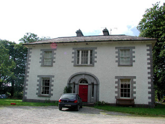 Carrigard Househouse · 1279 yd
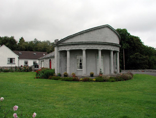 Rockingham Housegate lodge · 1556 yd
 Moylung Castle (in ruins)Castle, unclassified · 1.5 mi
 Lough Key Forest ParkWood · 1.5 mi
 Erris BayBay · 1.8 mi
 Horse-chestnutHorse-chestnut · 1.9 mi
 Western RedcedarWestern Redcedar · 1.9 mi
 Longford HillMountain / peak · 2.1 mi
 Boyle AbbeyHeritage attraction · 2.1 mi
 Trinity IslandIslet · 2.2 mi