What is recorded here
Situated to the E of Mountseskin House, on a SE-facing slope in rich pastureland. A ring-barrow indicated as a roughly circular enclosure on the 1843 OS 6-inch map. It was still standing in the mid 1970s (diam. 16m) when inspected by Paddy Healy (1975, 1-19). It had been cut by a field boundary. Not visible at ground level.
Compiled by: Geraldine Stout and Padraig Clancy
Revised upload on: 7 July 2018
The monument record does not grant public access. Check the route and ask the landowner before entering private land.
- What survives
- Recorded monument
Places near here
 BarrowBarrow, ring-barrow · 64 yd
 Mound in Raheen (newcastle By.)Mound · 365 yd
 KnackannaveaMountain / peak · 1145 yd
 Verschoyle's HillMountain / peak · 1230 yd
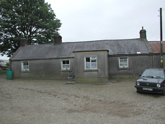 farmyard complexfarmyard complex · 1374 yd
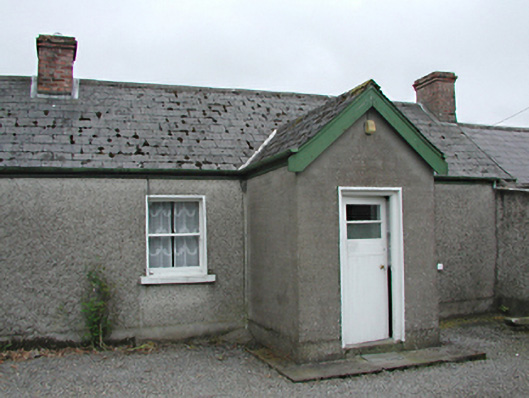 farm housefarm house · 1510 yd
 Graveyard in BallymanaGraveyard · 1.7 mi
 CastleCastle, tower house · 2.0 mi
 Ballinascorney WoodForest · 2.1 mi
 Rathcoole WoodlandWood · 2.2 mi
 Meadow WildlifeVisitor information · 2.4 mi
 Inniscara GalleryGallery · 2.7 mi