What is recorded here
On the crest of a short NE-SW ridge (L c. 100m; Wth c. 30m; H c. 3-4m). D-shaped grass-covered mound (dims of base 5.5m N-S; c. 3m E-W; H 0.3m) defined by a fosse (Wth of top c. 4m; max. D 0.3m) which is most clearly seen at NE and SW (max. ext. dim. 13.3m NE-SW), but at SE and NW it merges into the slope of the ridge. Man-made underground passage (RO021-042003-) is c. 30m to the SW and the segment of road (RO021-042006-) is c. 140m to the SE. Little Rathbeg (RO022-056016-) is c. 250m to the E.
Compiled by: Michael Moore
Date of upload: 24 August 2010
A Neolithic ring-barrow; its construction dates to the early to middle Neolithic period (c. 4000–3000 BCE). Such barrows are significant as they represent early funerary monuments and provide insights into burial practices and social organisation in prehistoric Ireland.
The monument record does not grant public access. Check the route and ask the landowner before entering private land.
- What survives
- Recorded monument
Places near here
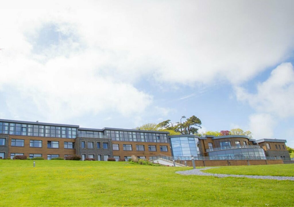 RathmoreFairy fort / earthen ringfort · 456 yd
 Ancient RoadRoad, road/trackway · 594 yd
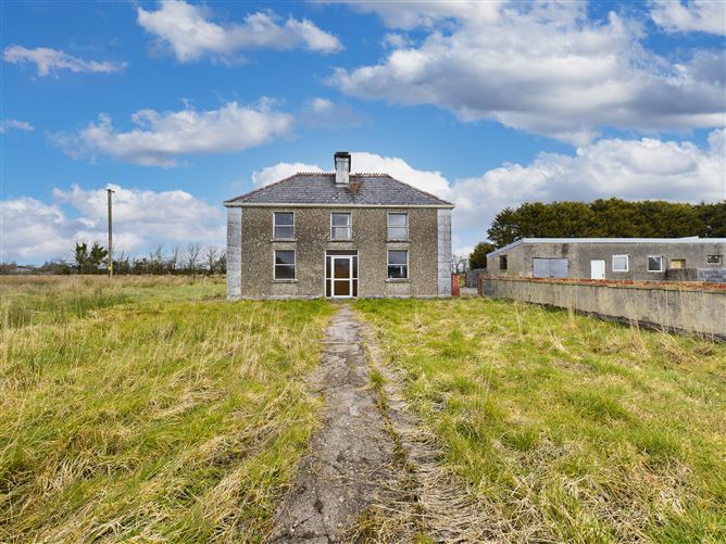 Enclosure in BallyconboyEnclosure · 923 yd
 RoadRoad, road/trackway · 1.7 mi
 CastlerubyCastle, unclassified · 2.6 mi
 European ashEuropean ash · 2.8 mi
 ToberagullaSpring · 2.8 mi
 GortnacushlaunCastle, unclassified · 3.1 mi
 Cruachan Aí Heritage CentreMuseum · 3.4 mi
 War of Independence Commemorative Military MemorialMemorial · 4.5 mi
 Gray's WoodForest · 6.3 mi
 Silver IslandIslet · 6.8 mi