What is recorded here
In low-lying pasture. A low, circular, dome-shaped mound of earth and stone (diam. at base 11.7m; H 0.6m) enclosed by a low bank of earth and stone (Wth 4.1m; H 0.1-1.3m) with a shallow internal fosse (Wth 1.5m; D 0.1-0.6m). At the outer foot of the bank is a second fosse (Wth 3.3m; D 0.4-1.3m) and, beyond that, a second bank (Wth 5.8m; H 0.4-1.8m) and a third fosse (Wth 2.9m; D 0.4m). The third, or outermost, fosse is identifiable for its entire circuit. However, from NNW-E-SE the other banks and fosses have been levelled and the lines of demarcation between them are not clearly defined. The original entrance is marked by corresponding breaks (Wth 2.8m) in the banks at SSW with accompanying causeways. The site is partially encircled by modern field boundaries.
Compiled by: Patrick F. O'Donovan
Date of upload: 26 August 2011
A Neolithic ring-barrow; dates to the early to middle Neolithic period (c. 4000–3000 BCE). It represents a rare and early form of funerary monument, often associated with elite burial practices and social stratification in Neolithic communities.
The monument record does not grant public access. Check the route and ask the landowner before entering private land.
- What survives
- Recorded monument
Places near here
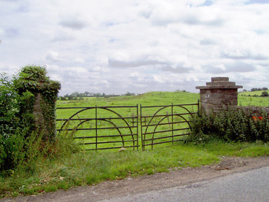 gates/railings/wallsgates/railings/walls · 304 yd
 Moat & CastleCastle, motte and bailey · 554 yd
 Field system in MoatfarrellField system · 593 yd
 IndicatedBawn · 606 yd
 BarrowBarrow, ring-barrow · 636 yd
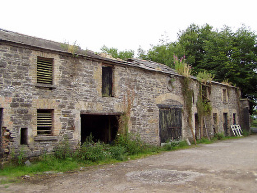 Moatfarrell Houseoutbuilding · 824 yd
 Ballinalee Forest WalkForest · 2.8 mi
 Edgeworthstown BypassMemorial · 3.0 mi
 Clonfin Ambush MemorialMemorial · 3.0 mi
 Bully's Acregraveyard/cemetery, unknown · 3.2 mi
 Oldtown DemesneForest · 3.4 mi
 Granard MotteMotte-and-bailey castle remains · 6.5 mi