
What is recorded here
From the National Monuments Service (Archaeological Survey of Ireland) record TS059-178
Places near here
Photo credits
- Maker not stated on source page, bodymindspiritjourneys.com
- Dublin Castle RIC, Wikimedia Commons · Public domain
- National Inventory of Architectural Heritage
- Maker not stated on source page, fi.pinterest.com
- Maker not stated on source page, fr.pinterest.com
- Maker not stated on source page, www.alamy.com
- Maker not stated on source page, www.dreamstime.com
- Kmcnamee, Wikimedia Commons · CC BY-SA 4.0
- Golfing in Ireland; photographer not stated, Source publisher
- Mike Searle, Wikimedia Commons · CC BY-SA 2.0
- Maker not stated on source page, www.thejournal.ie
 Kilmucklin Church (in ruins)Church · 1022 yd
Explorer Tom Kilmucklin Church is having a bit of a feud with the next village over something daft, probably who gets to claim they…
 Soloheadbeg AmbushAmbush · 1029 yd
Explorer Tom The Soloheadbeg Ambush is where some guys hid in a cart of guns and waited for the wrong time to fire. The local sheep…
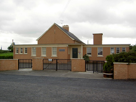 Garryshane National SchoolSchool · 1.0 mi
Explorer Tom Garryshane National School is still pretending that a cow actually tried to buy the whole lot back in the sixties. It’s…
 Site of CastleCastle, unclassified · 1.1 mi
Explorer Tom Site of Castle in Moatquarter has a fan club that meets every Tuesday to mourn its absence. It sits right on top of the…
 Standing stone in Kyle (solloghodbeg Par.)Standing stone · 1.7 mi
Explorer Tom Standing stone in Kyle is tapering towards the top like a pencil that’s been sharpened by time and neglect. There was…
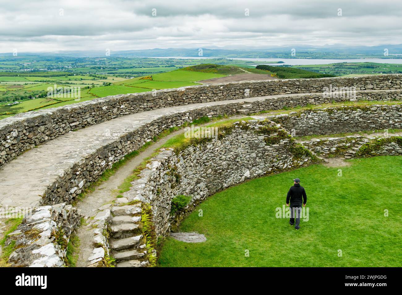 Earthwork in GreenaneEarthwork · 1.8 mi
Explorer Tom Earthwork in Greenane was classified as a motte once, but now it’s basically just a confused bump in the grass with no…
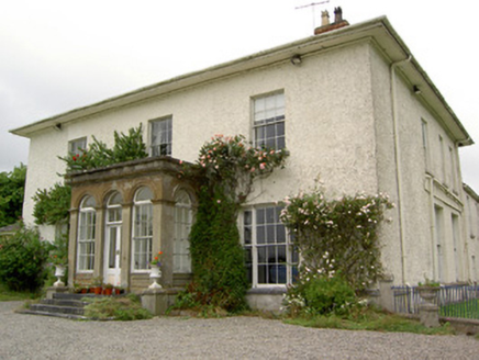 Greenane HouseCountry house · 2.0 mi
Explorer Tom Greenane House was the reason the whole parish argued about who owned the best porch last summer. It has those…
 Enclosure in GreenaneEnclosure · 2.3 mi
Explorer Tom This Greenane site hosted a fake royal visit that nobody can disprove because everyone was too busy getting stuck in…
 Solohead GAA pitchGAA ground · 2.8 mi
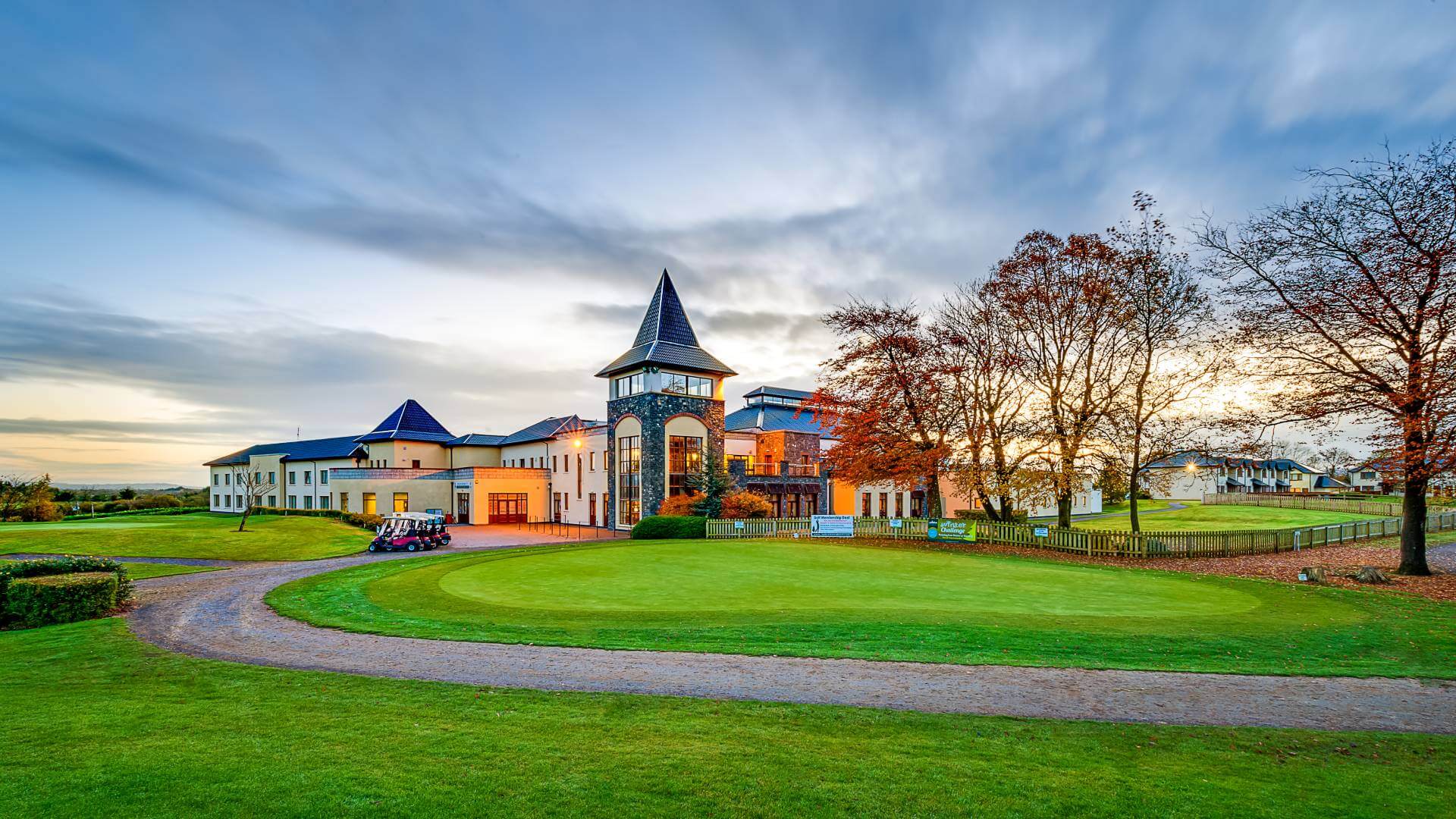 Ballykisteen Golf ClubGolf course · 3.2 mi
 Oola Castle (in ruins)Castle, tower house · 3.8 mi
Explorer Tom Oola Castle is hiding a scandal on Oola Hill that has been whispered about for centuries without ever being proven. It…
 Oola Castle RuinsViewpoint · 3.8 mi
Explorer Tom Oola Castle Ruins in County Limerick is basically a haunted viewpoint that screams about its missing walls. I bet it…
More archaeology and monuments in County Tipperary · All of County Tipperary

What do you know about this place?Tap to add a comment or ask a question