What is recorded here
On top of the level summit of a prominent hill with panoramic views in all directions, abutting the inner SSE side of an enclosure (TS058-023002-) containing a multi-period. A ditch-barrow (TS058-023005-) is located 8m to the NW and a second ditch-barrow (TS058-023007-) is 4m to the W. A standing stone (TS058-079----) is visible 800m to the NE; a large barrow 1.5km to the WSW and a mound-barrow (TS058-047----) 1.8km to the S. The enclosing elements are in good condition with crisp breaks of slope and little livestock damage. The ring-barrow is, however, becoming engulfed with gorse making access difficult. It consists of a circular area (diam. 8m) defined by a scarped edge (Wth 1m; H 0.4-0.5m) with a shallow fosse (Wth at base 0.4m) and an external earthen bank (overall Wth 3.6-4m; int. H 0.9m; ext. H 0.15m). The scarped edge, fosse and external bank enclose the monument from SSW to NW and from NNE to SE and has a consistent regular profile. From NW to NNE the fosse and external bank are absent and the edge of the monument is defined by fosse of the neighbouring bowl-barrow (TS058-028003-). From SE to SW the fosse and external bank are absent and the edge is defined by fosse of the large enclosure (TS058-028002-). The interior is level, dry and clear of overgrowth but the fosse and external bank are densely overgrown with gorse.
Compiled by: Jean Farrelly
Date of upload: 26 August 2011
A Bronze Age ring-barrow, likely serving as a burial monument, situated in a prominent landscape position indicating ritual or ceremonial significance. Its association with a multi-period enclosure suggests long-term use of the site for communal or elite activity.
The monument record does not grant public access. Check the route and ask the landowner before entering private land.
- What survives
- Recorded monument
Places near here
 Enclosure in Longstone (kilcornan Par.)Enclosure · 675 yd
 Site of Castle LoaghnyCastle, unclassified · 681 yd
 Enclosure in Longstone (cullen Par.)Enclosure · 749 yd
 Kilcornan Church (in Ruins)Church · 1154 yd
 RathardCastle, ringwork · 1574 yd
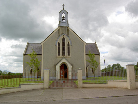 Saint Patrick's Catholic Churchchurch/chapel · 1580 yd
 Oola HillMountain / peak · 2.5 mi
 Kilteely HillMountain / peak · 4.5 mi
 St. Patrick's WellSpring · 4.5 mi
 St Patrick's WellSpring · 7.0 mi
 Flat cemetery in Knockainy WestFlat cemetery · 7.0 mi
 Ballinvreena LoopVisitor information · 9.9 mi