What is recorded here
On a SW-facing slope in pasture. A circular mound of earth and stone (diam. 5.95m; max. H 0.75m) enclosed by a wide, low bank of earth and stone (Wth 5.3m; H 0.5m) with a shallow internal fosse (Wth 2.2m; D 0.4m). At the centre of the mound, a large boulder is lying on its side. At NW, E and SE low causeways extend from the inner face of the bank across the fosse to the mound.
Compiled by: Patrick F. O'Donovan
Date of upload: 26 August 2011
A Neolithic ring-barrow, dating to approximately 3500–2500 BCE, characterized by its circular mound and enclosing bank with an internal fosse. Such monuments are significant as early funerary and ceremonial structures, reflecting communal burial practices and social organization in Neolithic Ireland.
The monument record does not grant public access. Check the route and ask the landowner before entering private land.
- What survives
- Recorded monument
Places near here
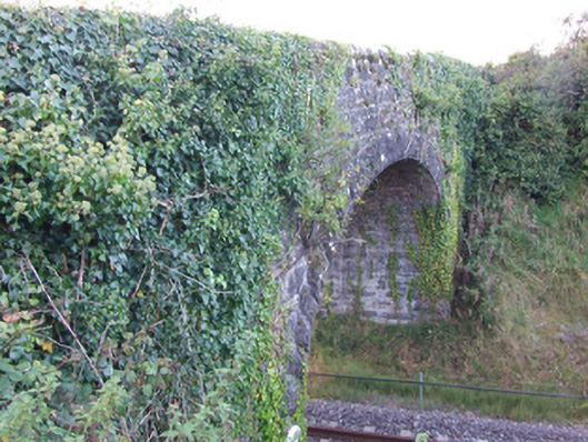 bridgebridge · 567 yd
 BarrowBarrow, unclassified · 1260 yd
 Oldtown DemesneForest · 1463 yd
 Enclosure in KeelogesEnclosure · 1521 yd
 Oldtown CopseWood · 1583 yd
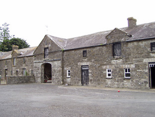 Oldtown Houseoutbuilding · 1660 yd
 Ardagh DemesneFort · 2.0 mi
 Bawn in LissardowlanBawn · 2.0 mi
 National Famine WayWalking route · 4.6 mi
 Saint Mel's CathedralCathedral · 5.3 mi
 Graveyard in Curry (ardagh By., Coolamber Ed)Graveyard · 6.1 mi
 Granard MotteMotte-and-bailey castle remains · 8.9 mi