What is recorded here
Situated atop high ground in a mountainous region with extensive views. A well-preserved large ring-barrow consisting of a circular platform (diam. 17.5m N-S; 16m E-W) enclosed by a fosse (Wth 3m; ext. D 0.5m) and external bank (Wth 2.8m; int. H 0.75-1m; ext. H 0.5m). A small mound of field-clearance debris is dumped in the centre of the platform. The fosse was waterlogged from E to S at time of visit.
The above description is derived from 'The Archaeological Inventory of County Tipperary. Vol. 1 - North Tipperary' compiled by Jean Farrelly and Caimin O'Brien (Dublin: Stationery Office, 2002). In certain instances the entries have been revised and updated in the light of recent research.
Date of upload/revision: 22 September 2008
A Neolithic ring-barrow, dating to the 4th–3rd millennium BCE, representing an early form of burial monument associated with communal funerary practices and territorial markers in prehistoric Ireland. Its location on high ground suggests ritual or strategic significance.
The monument record does not grant public access. Check the route and ask the landowner before entering private land.
- What survives
- Recorded monument
Places near here
 Latteragh Church (in Ruins), Grave YardChurch · 1.0 mi
 Latteragh Housefarmyard complex · 1.1 mi
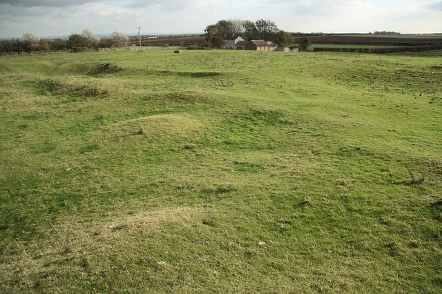 Settlement desertedSettlement deserted, medieval · 1.1 mi
 Latteragh Castle (in ruins)Castle, Anglo-Norman masonry castle · 1.1 mi
 Interragh HillMountain / peak · 1.1 mi
 ToberoranHoly well · 1.2 mi
 IndicatedCastle, motte · 1.5 mi
 Killavalla WoodForest · 2.7 mi
 GortagarryMountain / peak · 2.8 mi
 Kyleroe WoodWood · 3.1 mi
 James Devaney MemorialMemorial · 7.3 mi
 Thomas MacDonagh Heritage CentreMuseum · 8.8 mi