What is recorded here
In pasture immediately N of a linear drainage ditch and E of field boundary. Ring-barrows (LI024-244-/245-/161002-) are located to the immediate W and N. Not depicted on the OS maps. Identified by Bruff aerial photographic survey in 1986 (Bruff 58(03); AP 4/3681) as a circular cropmark. Visible as a U-shaped cropmark on Google Earth orthoimage taken 18/11/2018.
See attached Bruff aerial survey image labelled Bruff 58(03).
Compiled by: Martin Fitzpatrick
Date of upload: 23 July 2020
Ring-barrow, Bronze Age. A type of burial mound typically associated with single inhumations, these monuments are significant for understanding early funerary practices and social organisation in prehistoric Ireland.
The monument record does not grant public access. Check the route and ask the landowner before entering private land.
- What survives
- Recorded monument
Places near here
 BarrowBarrow, ring-barrow · 94 yd
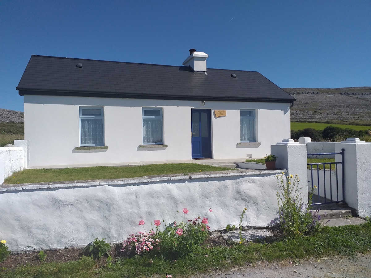 Hut site in Glen (clanwilliam By.)Hut site · 246 yd
 KnockseefinMountain / peak · 1167 yd
 (Site of) Nicker CastleCastle, unclassified · 1559 yd
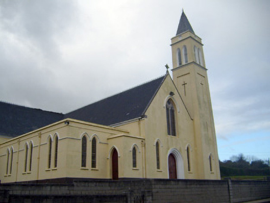 Catholic Church of Saint John the Baptistchurch/chapel · 1676 yd
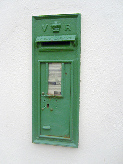 post boxpost box · 1709 yd
 Pallas MoatCastle, motte · 1.2 mi
 ToberagaddySpring · 2.1 mi
 St. Patrick's WellSpring · 2.2 mi
 Kilteely HillMountain / peak · 2.7 mi
 Flat cemetery in Knockainy WestFlat cemetery · 6.6 mi
 Ballinvreena LoopVisitor information · 12 mi