What is recorded here
Situated on flat grassland immediately N of Knockloe House and to the W of the driveway leading up to the abandoned ruins of this country house. One of a group of 5 possible barrows (WI037-029001-/005-) clustered in a small field (dims. 59m NE-SW; 110m N-S) clearly visible on Digital Globe aerial photograph taken November 2011. Site consists of a low circular mound (approx. diam. 10m) enclosed by a wide shallow fosse (Wth 2m; D 0.2m) with traces of an external bank (Wth 2m; ext. H 0.1m) in centre of field adjacent to driveway leading up to Knockloe House. According to landowner this field was used to 'ring horses' in the 19th century. Visible as a cropmark on the 2005 OSI aerial photograph, on this photograph the earthwork (WI037-029005-) in the N quadrant of the field appears to be formed by a circular feeding trough. The clustering of these earthworks in a small narrow field and their preservation along with their close proximity to Knockloe House may cast doubts on their antiquity.
Compiled by: Caimin O'Brien based on details kindly provided by Dr. Charles Mount.
Date of upload: 9 February 2017
Ring-barrow, likely dating to the Early Bronze Age. This type of burial monument is significant as it reflects early communal burial practices and social organisation in prehistoric Britain.
The monument record does not grant public access. Check the route and ask the landowner before entering private land.
- What survives
- Recorded monument
Places near here
 IndicatedEnclosure · 751 yd
 RaheenFairy fort / earthen ringfort · 1410 yd
 Rath WoodForest · 1.0 mi
 Templemoneen Church (in ruins)Church · 1.5 mi
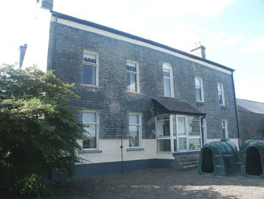 Ardoyne Housefarm house · 1.8 mi
 CastleCastle, motte and bailey · 1.8 mi
 European ashEuropean ash · 2.2 mi
 Coppenagh CastleCastle, tower house · 2.8 mi
 Acaun Church (in ruins), GraveyardChurch · 3.0 mi
 Altamont House and GardensHeritage attraction · 5.1 mi
 Altamont Gardens MapVisitor information · 5.1 mi
 Church (in Ruins), GraveyardChurch · 5.3 mi