What is recorded here
Situated on flat grassland immediately N of Knockloe House and to the W of the driveway leading up to the abandoned ruins of this country house. One of a group of 5 possible barrows (WI037-029001-/005-) clustered in a small field (dims. 59m NE-SW; 110m N-S) clearly visible on Digital Globe aerial photograph taken November 2011. Site consists of a low circular mound (approx. diam. 9m) enclosed by a wide shallow fosse (Wth 2m; D 0.2m) with traces of an external bank (Wth 2m; ext. H 0.1m) in SW quadrant of field adjacent to driveway leading up to Knockloe House. According to landowner this field was used to 'ring horses' in the 19th century. Visible as a cropmark on the 2005 OSI aerial photograph, on this photograph the earthwork (WI037-029005-) in the N quadrant of the field appears to be formed by a circular feeding trough. The clustering of these earthworks in a small narrow field and their preservation along with their close proximity to Knockloe House may cast doubts on their antiquity.
Compiled by: Caimin O'Brien based on details kindly provided by Dr. Charles Mount.
Date of upload: 9 February 2017
Round barrow, likely dating to the Early Bronze Age (c. 2000–1500 BCE). Its presence in a group suggests it may be part of a burial cemetery, reflecting early funerary practices in the region.
The monument record does not grant public access. Check the route and ask the landowner before entering private land.
- What survives
- Recorded monument
Places near here
 IndicatedEnclosure · 739 yd
 RaheenFairy fort / earthen ringfort · 1394 yd
 Rath WoodForest · 1.0 mi
 Templemoneen Church (in ruins)Church · 1.5 mi
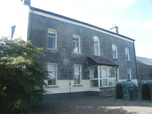 Ardoyne Housefarm house · 1.7 mi
 CastleCastle, motte and bailey · 1.8 mi
 European ashEuropean ash · 2.2 mi
 Coppenagh CastleCastle, tower house · 2.8 mi
 Acaun Church (in ruins), GraveyardChurch · 3.0 mi
 Altamont House and GardensHeritage attraction · 5.1 mi
 Altamont Gardens MapVisitor information · 5.1 mi
 Church (in Ruins), GraveyardChurch · 5.3 mi