What is recorded here
This site was identified during Phase II test excavation of the N8 Cashel to Mitchelstown road improvement scheme carried out in May 2006. The site was subsequently excavated between 27 June and 12 July 2006. This site consisted of a ring-barrow located near the brow of a gradual north-west-facing slope. There was one cremation burial centrally placed in the barrow and at least four token deposits of cremated bone were found in the fill of the ditch. This site enclosed an area 7m in diameter. The ditch was U-shaped in profile, with gradually sloping sides and a concave base. It had a maximum depth of 0.43m. The western extent of the ring-ditch was truncated and the ditch only survived to a depth of 0.15m. This site was located c. 550–600m to the east of two fulachta fiadh (Site 4602A2, see No. 1244 above, E2339; and Site 4705, see No. 1242 above, E2306) and 80m to the east of an enclosure site with a possible industrial function (see No. 1283 below, Site 47001B, E2342) (Excavations 2006 Site No. 1282; McQuade; Molloy & Moriarty 2009, 163-5).
A ring-barrow, likely dating to the Early Bronze Age, associated with burial practices and ritual activity in the Knockcommane area. Its excavation provided insights into prehistoric funerary customs in the region.
The monument record does not grant public access. Check the route and ask the landowner before entering private land.
- What survives
- Recorded monument
Places near here
 Furnace in KnockcommaneFurnace · 99 yd
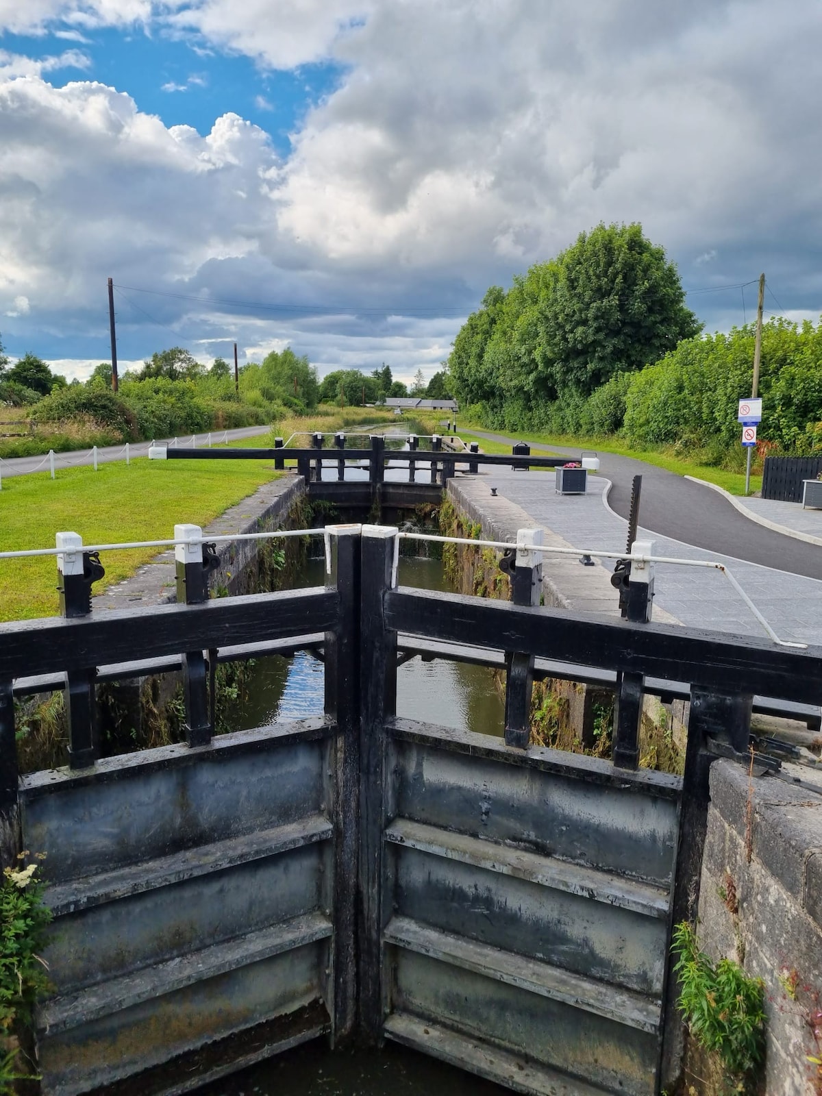 BarrowBarrow, ditch barrow · 446 yd
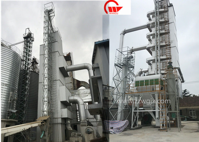 KilnKiln, corn-drying · 813 yd
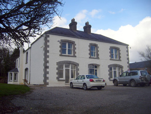 Loughananna Househouse, gate lodge · 1480 yd
 Kilbeheny Castle (in ruins)Castle, tower house · 1.9 mi
 Coopers WoodWood · 2.3 mi
 CastleCastle, ringwork · 2.4 mi
 Seefin North TopMountain / peak · 2.7 mi
 Eagles StepCliff · 3.2 mi
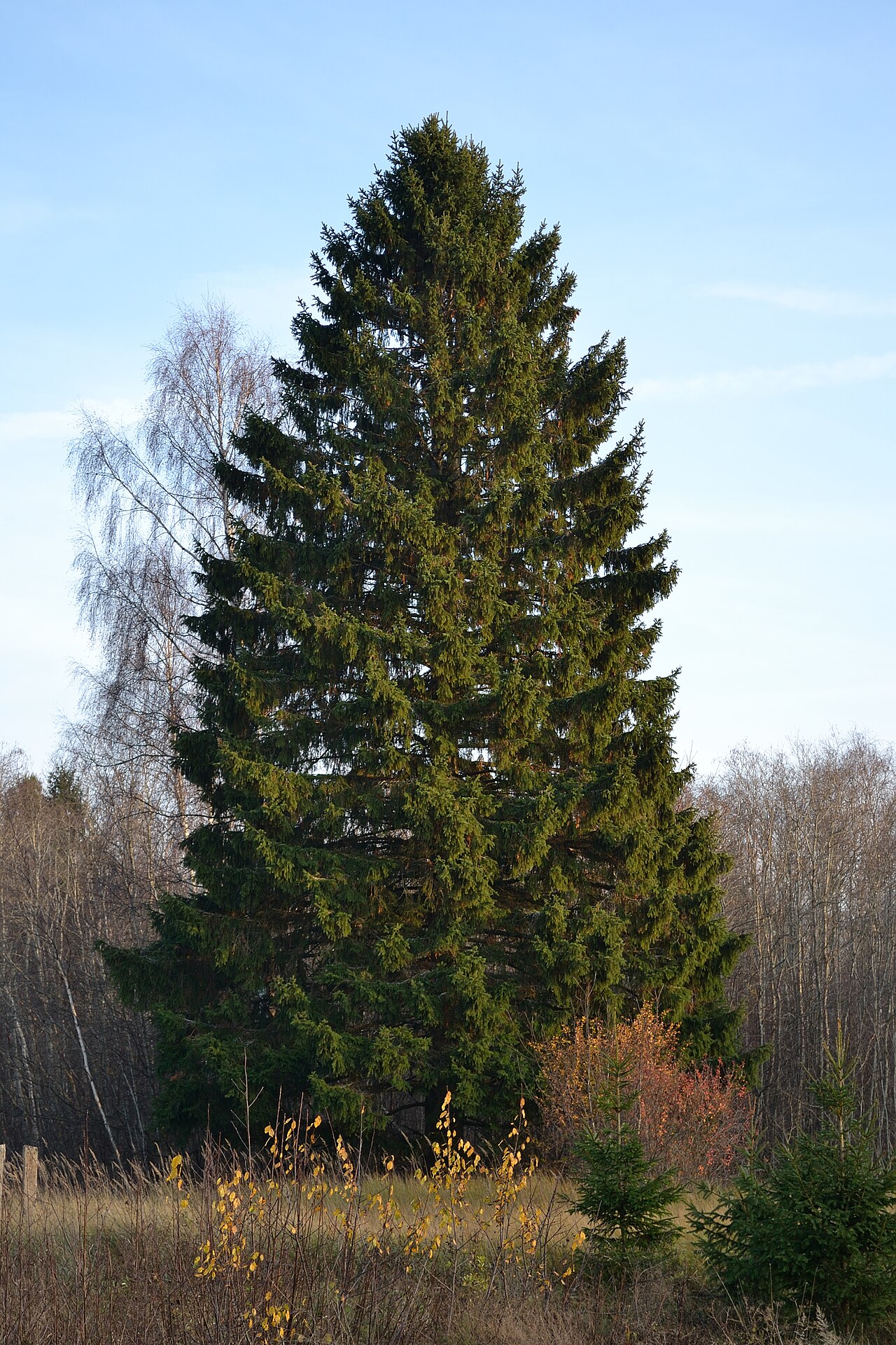 Norway SpruceNorway Spruce · 3.5 mi
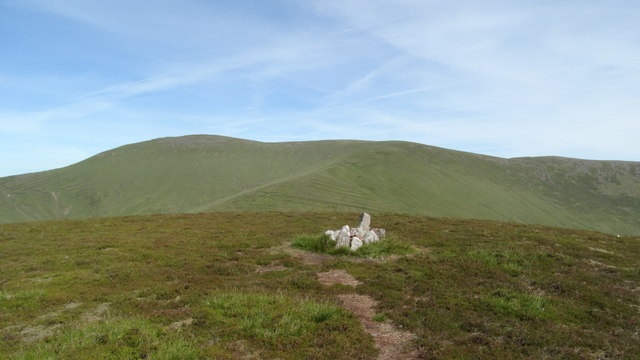 MonabrackMountain / peak · 3.7 mi
 Aircraft Memorial 1976Memorial · 3.8 mi