What is recorded here
Situated in a shallow basin at the source of the W-E River Lask, with a slight hill c. 800m to the E and higher hills c. 2km to the NW in Co. Wicklow. This is a circular area (diam. 8.2m) surrounded by a wet fosse (Wth 4.5–5.8m; D 0.8m) and an outer earthen bank (Wth 1.5–2m). It is truncated by a NW-SE field bank at SW (max. ext. diam. 21.5m). Pond (WX006-083003-) is c. 30m to the SW. It is now in a coniferous wood.
The above description is derived from the published 'Archaeological Inventory of County Wexford' (Dublin: Stationery Office, 1996). In certain instances the entries have been revised and updated in the light of recent research.
Compiled by: Michael Moore
Date of upload/revision: 2 March, 2012
A ring-barrow, likely dating to the Early Bronze Age, associated with burial practices and territorial markers in upland landscapes. Its wet fosse suggests ritual or defensive significance.
The monument record does not grant public access. Check the route and ask the landowner before entering private land.
- What survives
- Recorded monument
Places near here
 Ritual siteRitual site, pond · 209 yd
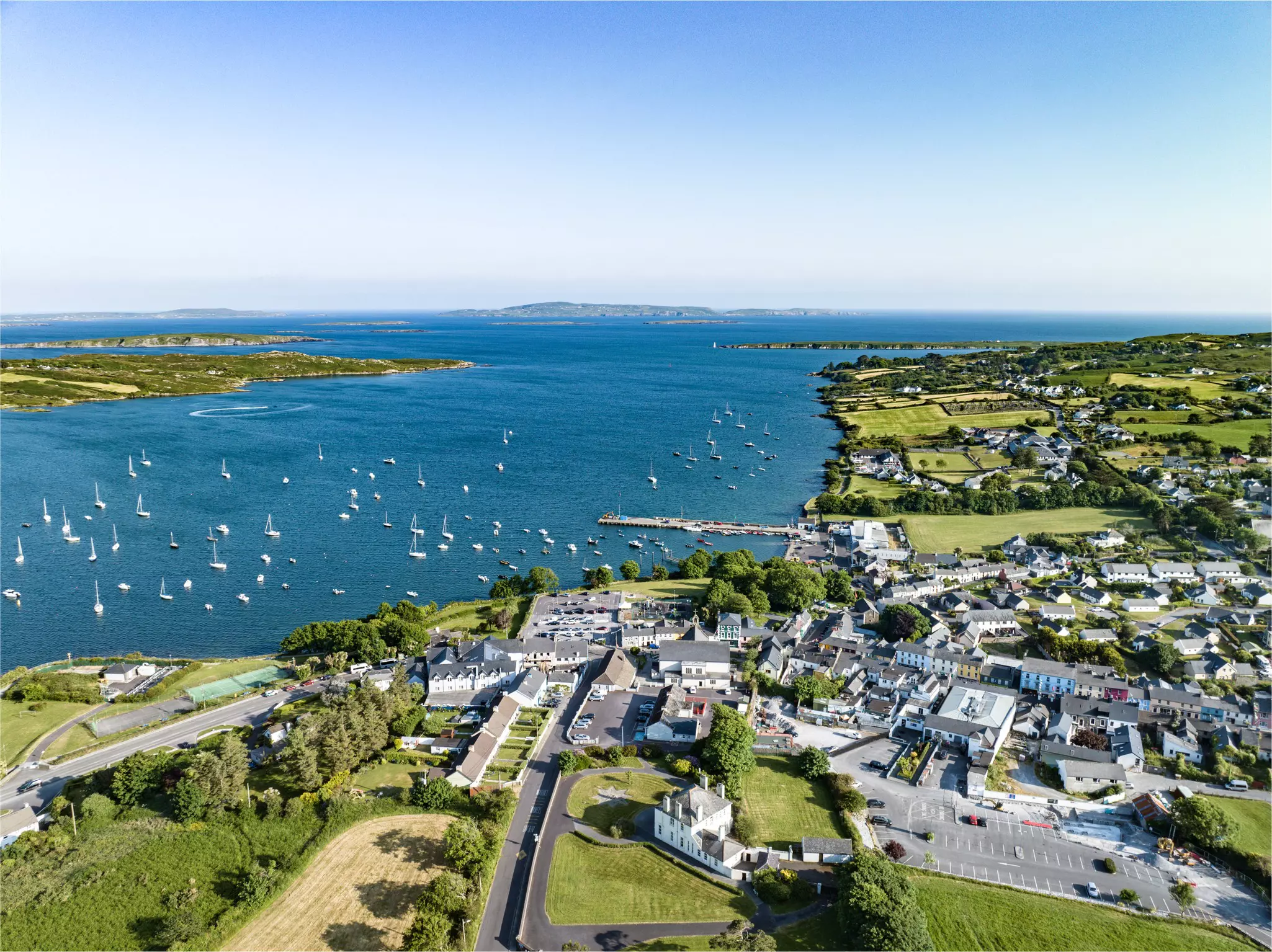 Fulacht FianFulacht fia · 683 yd
 Millstone quarry in MotabowerMillstone quarry · 821 yd
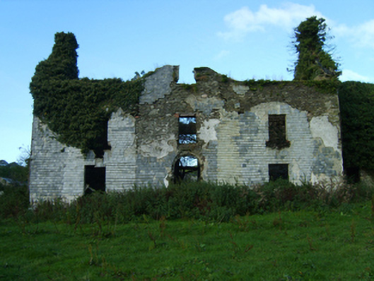 Buckstown Housefarm house · 1.2 mi
 Saint Brigid's WellSpring · 1.8 mi
 Craan HillMountain / peak · 2.1 mi
 Kilmichael HillMountain / peak · 2.6 mi
 Blue SchoolMemorial · 2.9 mi
 Mountnebo WoodForest · 2.9 mi
 Drimingall WoodForest · 3.3 mi
 1798 MemorialMemorial · 4.9 mi
 Clonogan Castle (site of)Castle, unclassified · 8.6 mi