What is recorded here
Situated on a prominent hillock, in gently undulating pasture. Monument described as a roughly circular-shaped mound (30m N-S; 28.4m E-W) defined by an inner fosse and an earthen bank. The bank is substantial albeit slightly defaced at NE and S. A large gap in the bank at S may represent an entrance. This monument appears to have been reused as a ringfort, having a large enclosing bank and a later house site (WM026-045001-) in the centre. There is a relatively modern oblong-shaped quarry hole outside the earthwork at NE.
See attached plan and profile of the monument surveyed and drawn by the ASI.
Compiled by Alison McQueen, Vera Rahilly and Caimin O’Brien.
Date of upload: 02 October 2019
A Neolithic ring-barrow; significant as a rare and well-preserved example of early funerary architecture in the region.
The monument record does not grant public access. Check the route and ask the landowner before entering private land.
- What survives
- Recorded monument
Places near here
 Partially hachuredFairy fort / earthen ringfort · 403 yd
 Dotted outlineFairy fort / earthen ringfort · 420 yd
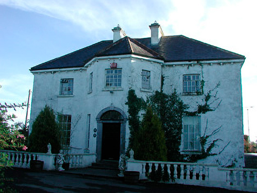 Woodville Housecountry house · 1331 yd
 Penal Mass station in VilanstownPenal Mass station · 1.0 mi
 CastleCastle, tower house · 1.9 mi
 Heathstown CastleCastle, tower house · 2.4 mi
 United Nations War MemorialMemorial · 5.5 mi
 Saint Brigid's WellSpring · 6.1 mi
 Roundhill WoodForest · 10 mi
 Rahin WoodsForest · 10 mi
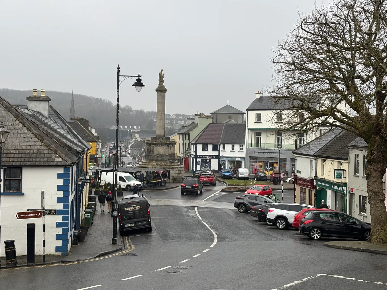 Not idnicatedFairy fort / earthen ringfort · 1441 yd
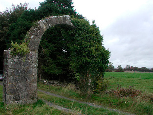 Violetstown Housefarmyard complex · 1.0 mi