What is recorded here
Knockainy Hill still holds two conjoined barrows, one nearly obliterated and one large enough to swallow a room whole. They lie close together south-east of Doonainy cairn, marked by banks, ditches and inner mounds rather than proud stone. A field fence cuts through the southern barrow, reminding us that human hands keep rewriting what the dead left behind.
Conjoined barrows described in 2004 as following; 'This pair of contiguous barrows lies c. 200m to the south-east of Doonainy cairn [LI032-139005-]. The northernmost barrow (barrow 6), 46m in overall diameter, consists of a bank and internal ditch enclosing a 19m-wide inner mound. A 9m-wide circular mound is located in the north-western quadrant of the central platform. This is the largest barrow on Knockainy Hill. The southern barrow (barrow 7) is bisected by a field fence. It measures 39m in diameter and consists of a bank and internal ditch enclosing a 21 m-wide circular inner mound' (Condit and Coyne 2004).
This barrow was described in 1944 as following; 'is now nearly obliterated. The overall diameter seems to have been about 100' [30m]' (O'Kelly 1944, 22).
Compiled by: Caimin O'Brien
Date of upload: 07 August 2019
The monument record does not grant public access. Check the route and ask the landowner before entering private land.
- What survives
- Recorded monument
Places near here
 Doonainy, HachuredMound · 208 yd
 KnockainyMountain / peak · 213 yd
 Mullach an Triuir - HachuredBarrow, ring-barrow · 275 yd
 Knockainy Creamerycreamery · 614 yd
 Knockainy Castle (in ruins)Castle, tower house · 656 yd
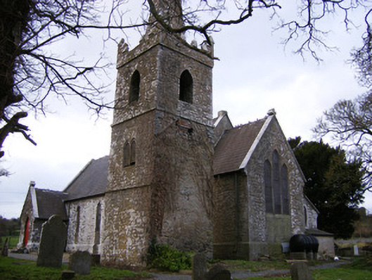 Saint John's Church (Knockainy)church/chapel · 676 yd
 Desmond Castle (in ruins)Castle, unclassified · 833 yd
 Flat cemetery in Knockainy WestFlat cemetery · 1505 yd
 Glen BogForest · 1.6 mi
 Kilteely HillMountain / peak · 4.1 mi
 St Patrick's WellSpring · 4.4 mi
 St. Patrick's WellSpring · 4.5 mi