What is recorded here
Situated in grassland, with ring-barrow (WM012-030---) 150m to WSW. Cropmark of possible ring-barrow consisting of a circular-shaped area (approx. diam. 10m) enclosed by a ditch, bank ditch and possibly an external bank which is visible on Digital Globe aerial photograph.
See attached image taken from Digital Globe aerial photographs supplied by Brian Doyle
Compiled by: Caimin O'Brien based on details kindly provided by Brian Doyle
Date of upload: 18 February 2019
Round barrow, likely Bronze Age; significant as a burial monument and as part of a wider pattern of prehistoric funerary activity in the region.
The monument record does not grant public access. Check the route and ask the landowner before entering private land.
- What survives
- Recorded monument
Places near here
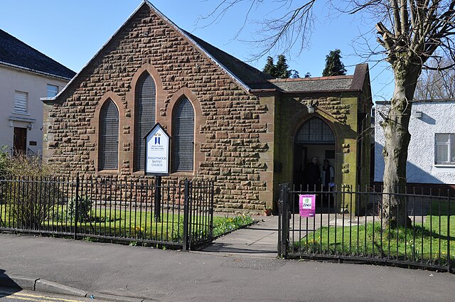 ToberslauntiaHoly well · 375 yd
 TobermichaelHoly well · 437 yd
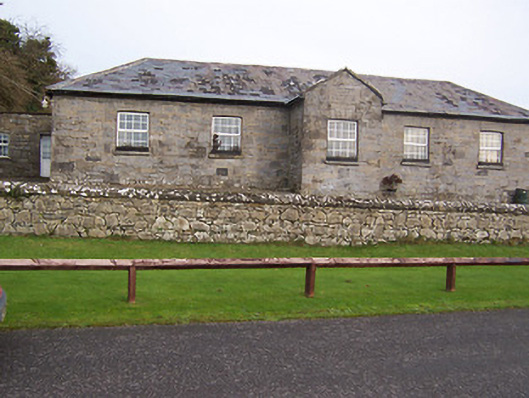 Ballynafid National Schoolschool · 1146 yd
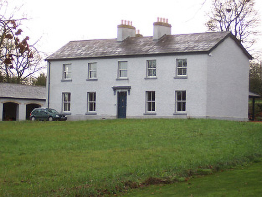 Portnashangan Househouse · 1416 yd
 CastleCastle, motte · 1.1 mi
 Scragh Bog Nature ReserveNature reserve · 1.2 mi
 Church IslandIsland · 2.0 mi
 Long PlantingForest · 2.4 mi
 Bridge Memorial (Kenna)Memorial · 2.5 mi
 Knockdrin CastleCastle · 2.5 mi
 Srudarra IslandIslet · 2.7 mi
 Saint Brigid's WellSpring · 3.3 mi