What is recorded here
In open level, wet, rough pasture. An oval area (int. diams. 32.3m E-W; 23.2. N-S) is defined by a shallow, wet, internal fosse (Wth 3.3-3.8m; D 0.1m) ESE-NW and a low, broad outer bank (Wth 03.6-4.5m; int. H 0.2m; ext. H 0.4m) which is heavily poached by livestock SSE-W. A possible pond-barrow (KD027-042----) lies c. 50m to the WSW and a possible ring-barrow (KD027-044----) lies c. 35m to the SE.
Compiled by: Gearóid Conroy
Date of upload: 26 October 2012
The monument record does not grant public access. Check the route and ask the landowner before entering private land.
- What survives
- Recorded monument
Places near here
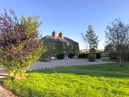 Enclosure in FennorEnclosure · 1.1 mi
 Sitka SpruceSitka Spruce · 1.3 mi
 Holy well in Brallistown CommonsHoly well · 1.3 mi
 Church (in Ruins)Religious house, Knights Hospitallers · 1.6 mi
 Japanese GardensHeritage attraction · 1.6 mi
 Dawn RedwoodDawn Redwood · 1.6 mi
 Horse MuseumMuseum · 1.6 mi
 Tully Ho.Castle, unclassified · 1.6 mi
 Site of CastleCastle, unclassified · 1.6 mi
 Grey Abbey (in Ruins)Religious house, Franciscan friars · 1.9 mi
 Battle of Kilrushbattle · 5.2 mi
 Bithia Mary CrokerMemorial · 7.1 mi