What is recorded here
The following description is derived from both the published 'Archaeological Inventory of County Louth' (Dublin: Stationery Office, 1986) and the 'Archaeological Survey of County Louth' (Dublin: Stationery Office, 1991). In certain instances the entries have been revised and updated in the light of recent research.
Date of upload/revision: 17 July 2007
Situated on summit of ridge. Ring-barrow, consisting of a level, circular interior (diam. 11.5m, H 0.7m) enclosed by a fosse (Wth 1.2m at base, 2.7m at top) and external bank (Wth 3.5m, H 0.4m). Referred to as a 'fort' by MacIvor (CLAJ 1944, 327; 1946, 102).
A ring-barrow, likely dating to the Early Bronze Age, associated with burial practices common in lowland Ireland. Its form suggests a single interment beneath a circular earthen mound, typical of the period.
The monument record does not grant public access. Check the route and ask the landowner before entering private land.
- What survives
- Recorded monument
Places near here
 Lismore FortCeremonial enclosure · 945 yd
 Holy well in RathlustHoly well · 1077 yd
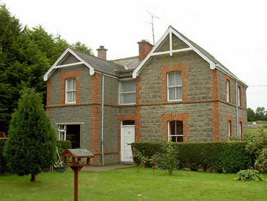 school master's houseschool master's house · 1.1 mi
 R.C. ChapelChurch · 1.1 mi
 Valley WoodWood · 1.2 mi
 Mount OrielMountain / peak · 1.7 mi
 CastleCastle, unclassified · 1.8 mi
 Screedoge HillMountain / peak · 2.4 mi
 Not idicatatedCastle, unclassified · 2.9 mi
 European White ElmEuropean White Elm · 3.0 mi
 Sir Frederick Foster MemorialMemorial · 3.3 mi
 Graveyard in StickillinGraveyard · 3.4 mi