What is recorded here
In low-lying pasture cut by land drains and watercourses , 110m NW of a townland boundary with Garrison. Not depicted on OSi historic maps. One of a cluster of three ring-barrows (LI024-252/253/254----). Identified as a circular-shaped cropmark by the Bruff aerial photographic survey in 1986 (Bruff 159.1: AP 4/3678). Monument is not visible on OSi orthoimage taken 2005-2012, or on Digital Globe orthoimage taken 2011-2015 or on Google Earth orthoimage taken 18/11/2018.
See attached Google Earth orthoimage taken 18/11/2018 and Bruff aerial survey image labelled Bruff 159.1.
Compiled by: Alison McQueen and Vera Rahilly
Date of upload: 8 October 2020
Ring-barrow, likely dating to the Early Bronze Age. It is part of a small group of barrows, suggesting a local burial tradition or cemetery, though its wider archaeological context remains poorly documented.
The monument record does not grant public access. Check the route and ask the landowner before entering private land.
- What survives
- Recorded monument
Places near here
 BarrowBarrow, ring-barrow · 366 yd
 Enclosure in KilduffEnclosure · 394 yd
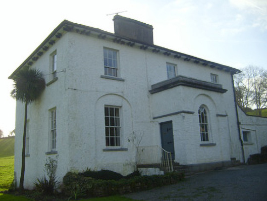 Moymore Houserectory/glebe/vicarage/curate's house · 619 yd
 Ballynaclogh Church (in ruins)Church · 1225 yd
 Pallas MoatCastle, motte · 1422 yd
 (Site of) CastleCastle, unclassified · 1461 yd
 ToberagaddySpring · 1553 yd
 KnockseefinMountain / peak · 1.0 mi
 St. Patrick's WellSpring · 3.1 mi
 Kilteely HillMountain / peak · 3.5 mi
 Flat cemetery in Knockainy WestFlat cemetery · 7.4 mi
 Enclosure in Pallas (coonagh By.)Enclosure · 593 yd