What is recorded here
In pasture 180m E of public road that marks the townland boundary with Moymore. Ring-barrow (LI024-164----) located 60m to SE. Not depicted on the OS maps. Identified by Bruff aerial photographic survey in 1986 (Bruff 80; AP 4/3678) as a circular shaped cropmark. Visible on Google Earth orthoimage dated 28/06/2018 as a circular cropmark 7m E of field boundary.
See attached Bruff aerial survey image labelled Bruff 80.
Compiled by: Martin Fitzpatrick
Date of upload: 23 July 2020
A Neolithic ring-barrow; likely dates to the Early to Middle Bronze Age. Its presence indicates prehistoric burial practices in the region, though its wider significance remains unexplored due to limited documentation.
The monument record does not grant public access. Check the route and ask the landowner before entering private land.
- What survives
- Recorded monument
Places near here
 Enclosure in KilduffEnclosure · 553 yd
 Enclosure in Garrane MoreEnclosure · 696 yd
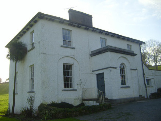 Moymore Houserectory/glebe/vicarage/curate's house · 713 yd
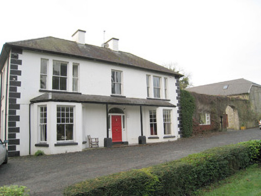 Mount Catherinehouse · 916 yd
 (Site of) Nicker CastleCastle, unclassified · 1063 yd
 Kilduff Castle (in ruins)Castle, tower house · 1217 yd
 ToberagaddySpring · 1335 yd
 KnockseefinMountain / peak · 1443 yd
 St. Patrick's WellSpring · 3.2 mi
 Kilteely HillMountain / peak · 3.6 mi
 Flat cemetery in Knockainy WestFlat cemetery · 7.6 mi
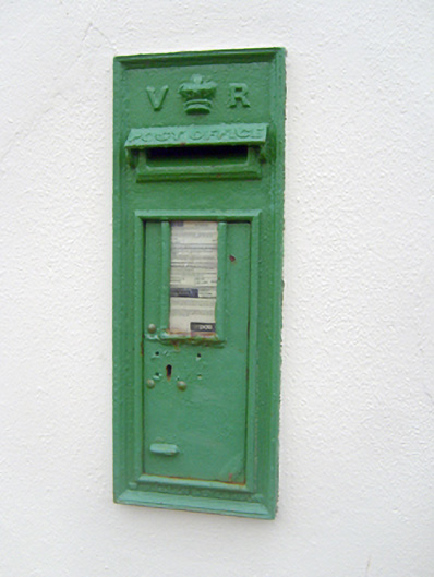 post boxpost box · 941 yd