What is recorded here
In low-lying, poorly drained pasture, cut by land drains and watercourses, 70m NW of a stream which also forms a townland boundary with Garrison. Not depicted on OSi historic maps. Ring-barrows (LI024-257/-253----) lie 25m to E and 65m to NNE, respectively. Monument identified as a circular-shaped cropmark by the Bruff aerial photographic survey in 1986 (Bruff 258: AP 4/3678). Monument is visible as a faint, suboval-shaped cropmark (approx. 6m NW-SE; 4.5m NE-SW) on OSi aerial orthoimage taken 2005-2012 and on Google Earth orthoimage taken 18/11/2018.
See attached Google Earth orthoimage taken 18/11/2018 and Bruff aerial survey image labelled Bruff 258.
Compiled by: Alison McQueen and Vera Rahilly
Date of upload: 9 October 2020
A Neolithic ring-barrow; significant as a rare and early form of burial monument, often associated with single inhumations and ceremonial practices.
The monument record does not grant public access. Check the route and ask the landowner before entering private land.
- What survives
- Recorded monument
Places near here
 Enclosure in KilduffEnclosure · 474 yd
 Enclosure in Pallas (coonagh By.)Enclosure · 509 yd
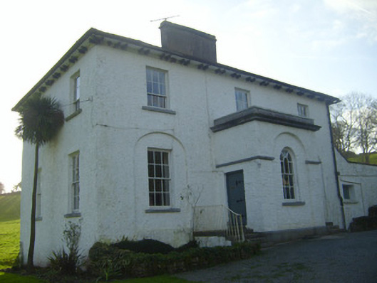 Moymore Houserectory/glebe/vicarage/curate's house · 620 yd
 Ballynaclogh Church (in ruins)Church · 1159 yd
 Pallas MoatCastle, motte · 1338 yd
 (Site of) CastleCastle, unclassified · 1374 yd
 ToberagaddySpring · 1633 yd
 KnockseefinMountain / peak · 1.1 mi
 St. Patrick's WellSpring · 3.0 mi
 Kilteely HillMountain / peak · 3.4 mi
 Flat cemetery in Knockainy WestFlat cemetery · 7.3 mi
 BarrowBarrow, ring-barrow · 533 yd