What is recorded here
In undulating pasture, in a slight natural depression on the top of a hill. There are excellent views in all directions except towards a hill at WNW. A circular raised area (15m N-S; 15m E-W) defined by an earth and stone bank (int. H 0.4m; ext. H 0.9m) NNE-W and by a scarp elsewhere. The interior is clear of overgrowth and is undulating, possibly due to quarrying; a quarry hole (4m N-S; 2m E-W; D 0.4m) is evident to N of centre. A dump of earth and stone (2m x 2m; H 0.3m) was noted against the internal face of the bank at S. A now disused field drain has been cut against the external face of the bank E-S and sections of a disused field boundary abut the external face of the bank at S and E. While there is no evidence of an internal fosse, the diameter and the location of this site suggest it is a ring-barrow.
The above description is derived from the published 'Archaeological Inventory of County Sligo' compiled by Ursula Egan, Elizabeth Byrne, Mary Sleeman with Sheila Ronan and Connie Murphy (Dublin Stationery Office, 2005).
Date of upload: 18 January 2008
A Neolithic ring-barrow; significant as a rare form of early funerary monument, often associated with elite burials or ritual activity.
The monument record does not grant public access. Check the route and ask the landowner before entering private land.
- What survives
- Recorded monument
Places near here
 Saint Joseph's Catholic Churchchurch/chapel · 454 yd
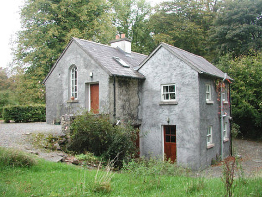 Newpark Housegate lodge · 888 yd
 Cliff-edge fort in NewparkCliff-edge fort · 1122 yd
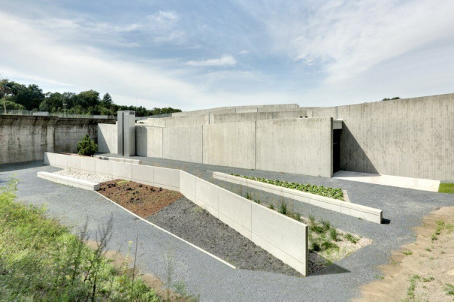 Ecclesiastical enclosure in NewparkEcclesiastical enclosure · 1380 yd
 Behy Castle (in Ruins)Castle, tower house · 1.8 mi
 James MorrisonMemorial · 2.1 mi
 Brother WalfridMemorial · 2.5 mi
 Ballymote CastleCastle · 2.5 mi
 School CaveCave · 3.0 mi
 Riverstown Folk ParkHeritage attraction · 3.1 mi
 Kesh CorannMountain / peak · 3.3 mi
 Caves of KeshCave · 3.4 mi