What is recorded here
In improved pasture, on the grounds of Kilballyowen House, 75m to N of current access road and which lies 690m W of a townland boundary with Knockainy. Ring-barrow (LI032-126001-) lies to the immediate W. Not depicted on OSi historic maps, although this location is shown to the immediately S of an earlier driveway leading to Kilballyowen House. Identified by Grogan (1989, 234) as a circular-shaped cropmark labelled ‘Kilballyowen 2’ . Area of monument is obscured by trees on OSi orthoimages taken 2005-2012, on Digital Globe orthoimages taken 2011-2013 and on Google Earth orthoimages taken 28/06/2018. The precise location of this monument cannot be confirmed without access to thesis which is not included in the paper file.
See attached Google Earth orthoimage
Compiled by: Alison McQueen and Vera Rahilly
Date of upload: 9 November 2020
The monument record does not grant public access. Check the route and ask the landowner before entering private land.
- What survives
- Recorded monument
Places near here
 Kilballyowen HouseCastle, unclassified · 341 yd
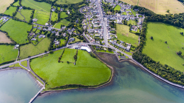 Field system in KilballyowenField system · 689 yd
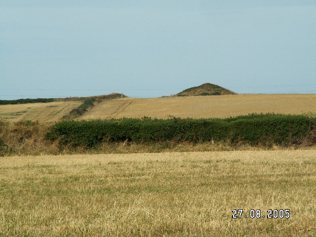 Burial mound in BaggotstownBurial mound · 1077 yd
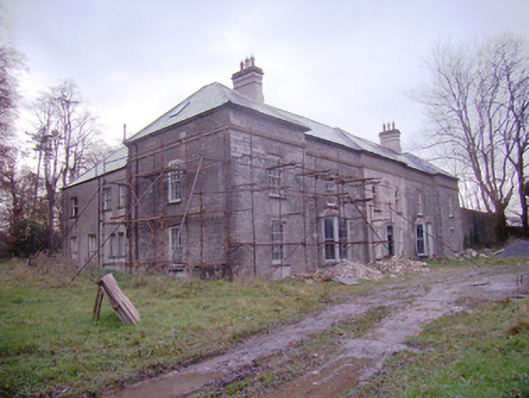 Baggotstown Housecountry house · 1295 yd
 Ballyvulhane Bridgebridge · 1469 yd
 Glen BogForest · 1530 yd
 KnockainyMountain / peak · 1.1 mi
 Knockainy Castle (in ruins)Castle, tower house · 1.5 mi
 Flat cemetery in Knockainy WestFlat cemetery · 2.0 mi
 Kilteely HillMountain / peak · 5.1 mi
 St Patrick's WellSpring · 5.4 mi
 St. Patrick's WellSpring · 5.4 mi