What is recorded here
Mid-way down a long moderately steep SW-facing slope in tillage. In 2000 (SMR file), the monument survived as a small partially overgrown, circular area (int. diam 5m) enclosed by a low earthen bank (int. H 0.15m; Wth 2.4m; ext. H 0.5m). with no trace of an outer fosse. However, ploughing up to the edge of the monument may have resulted in its infilling. In 2007, the monument was completely ploughed over revealing a central circular area of grey ash, charcoal and burnt bone which was girdled by a band (Wth c. 1.2m) of pale yellow soil with possible human bone, charcoal and burnt earth inclusions.
Compiled by: Gearóid Conroy
Date of upload: 30 August 2012
A ring-barrow, likely dating to the Early Bronze Age. Its presence indicates a local funerary tradition associated with burial mounds in the Irish landscape.
The monument record does not grant public access. Check the route and ask the landowner before entering private land.
- What survives
- Recorded monument
Places near here
 Enclosure in Grangebeg (kildangan Ed)Enclosure · 424 yd
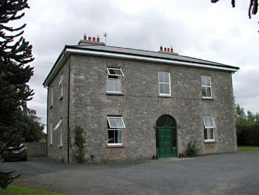 Oghill Housefarm house · 1672 yd
 Enclosure in DuneanyEnclosure · 1.1 mi
 Church (in Ruins)Church · 1.2 mi
 Site of CastleCastle, unclassified · 1.3 mi
 Bawn in Lackagh BegBawn · 1.7 mi
 Brookfield WoodWood · 2.4 mi
 Sitka SpruceSitka Spruce · 2.7 mi
 Horse MuseumMuseum · 2.9 mi
 Japanese GardensHeritage attraction · 2.9 mi
 Bithia Mary CrokerMemorial · 5.9 mi
 Bog Lake WalkWalking route · 9.2 mi