What is recorded here
On flat pasture with good views in all directions. Identified on aerial photographs (CUCAP 19 July 1971, BGO 2 and GSI 8.4.1974, S. 584/3). Two ring-barrows (TS047-049----; TS047-049002-) are located 38m to the N and 54m to the W respectively. The most poorly preserved ring-barrow (overall diam. 20.5m N-S) of a group of three, consisting of a flat-topped mound (top diam. 10m; base diam. 11m; H 0.2m) partially damaged from N to E, enclosed by an inner fosse (base Wth 1.8m; top diam. 5.5m; ext. D 0.3m), no outer bank visible.
Compiled by: Jean Farrelly
Date of upload: 26 August 2011
Ring-barrow, likely dating to the Early Bronze Age. These burial monuments are significant for understanding prehistoric funerary practices and social organization in the region.
The monument record does not grant public access. Check the route and ask the landowner before entering private land.
- What survives
- Recorded monument
Places near here
 IndicatedFairy fort / earthen ringfort · 1555 yd
 Twoford Bridgesbridge · 1687 yd
 Enclosure in Newtown (holycross Par.)Enclosure · 1.0 mi
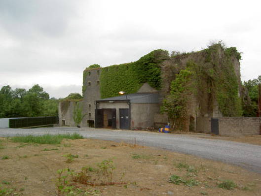 Holycross Distillerymill (water) · 1.1 mi
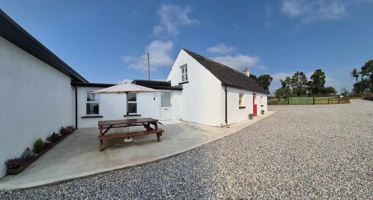 Bawn in Galbertstown LowerBawn · 1.4 mi
 RathkennanCastle, motte and bailey · 1.7 mi
 Killough Hill (site of)Mountain / peak · 1.7 mi
 Cormackstown Heritage CentreMuseum · 2.9 mi
 Clonoulty HillMountain / peak · 3.9 mi
 Wildlife CorridorWood · 4.0 mi
 Gift Horse GalleryGallery · 4.1 mi
 WoodlandWood · 4.4 mi