What is recorded here
Timoney (1984, 323, no. 9) describes this as follows: 'The total diameter of this ring-barrow, sited on a false crest is 20.30m. A flat topped mound, 8.50m in diameter and 30cm high, is enclosed by a fosse, 3m wide and 50cm deep, and a bank, 2.80m wide and 75cm high. There are stones in the make-up of the bank. A modern stone wall crosses the west side of the monument. Burenhult (1980:1, 97) lists this as Structure 64, Carrowmore, recte Graigue.'
Compiled by: Paul Walsh
Date of upload: 28 January 2014
A ring-barrow, likely dating to the Early Bronze Age, characterized by a flat-topped central mound enclosed by a fosse; such monuments are significant as they reflect early funerary and ritual practices in the Irish landscape.
The monument record does not grant public access. Check the route and ask the landowner before entering private land.
- What survives
- Recorded monument
Places near here
 Enclosure in Knocknahur NorthEnclosure · 496 yd
 CashelFairy fort / stone ringfort · 547 yd
 Carrowmore Visitors CentreVisitor information · 766 yd
 Carrowmore Megalithic CemeteryHeritage attraction · 971 yd
 Kiln in BreeogeKiln · 1732 yd
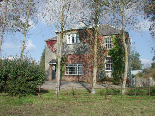 Breeoge Househouse · 1.0 mi
 Castle (in Ruins)Castle, unclassified · 1.3 mi
 The GlenWood · 1.7 mi
 CarrigeenfaddaIslet · 1.7 mi
 Knocknarea trailWalking route · 1.8 mi
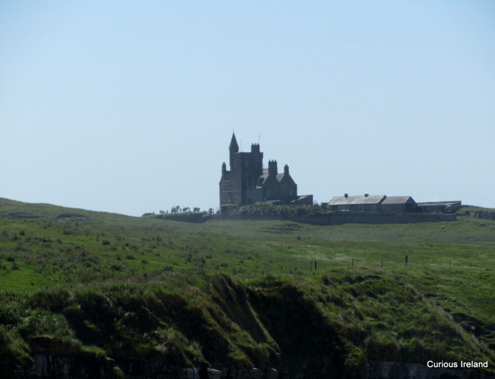 CastleCastle, unclassified · 2.0 mi
 KnocknareaMountain / peak · 2.1 mi