What is recorded here
On top of a low hillock on reclaimed grassland in Slieveardagh hills with good views from E through S to W with higher ground to N. Nearby megalithic tomb (TS048-041----) to 175m to N. Well-preserved ringbarrow (overall diameter 19m E-W) consisting of a low circular mound (top diam 8.5m E-W; base diam. 10m E-W; H 0.3m) enclosed by an inner fosse (base Wth 1m; top Wth 2.5m) and external bank (base Wth 2m; top Wth 1m; ext. H 0.2-0.6m). Stone wall field bank bisects the mound on an E-W axis. Originally the ring-barrow was situated on low ridge in wet marshy terrain in upland region. The mound is approximately level with the external ground surface.
Compiled by: Jean Farrelly
Date of upload: 26 August 2011
Neolithic ring-barrow, dating to approximately 3500–2500 BCE. Its location on a prominent hill and proximity to another megalithic tomb suggest it was part of a wider ceremonial or funerary landscape in the Slieveardagh region.
The monument record does not grant public access. Check the route and ask the landowner before entering private land.
- What survives
- Recorded monument
Places near here
 Druids AltarMegalithic structure · 190 yd
 RoadRoad, road/trackway · 978 yd
 Ballinalacken Church (in ruins)Church · 986 yd
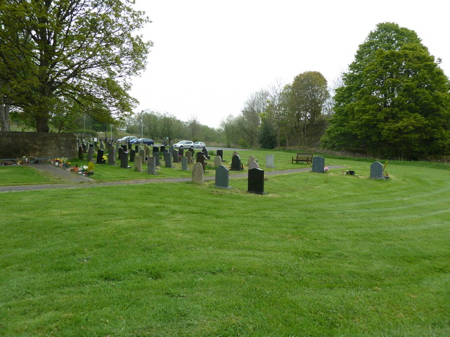 Grave YardHoly well · 1000 yd
 Waterloo HillMountain / peak · 1737 yd
 Mellisson CastleCastle, tower house · 1.6 mi
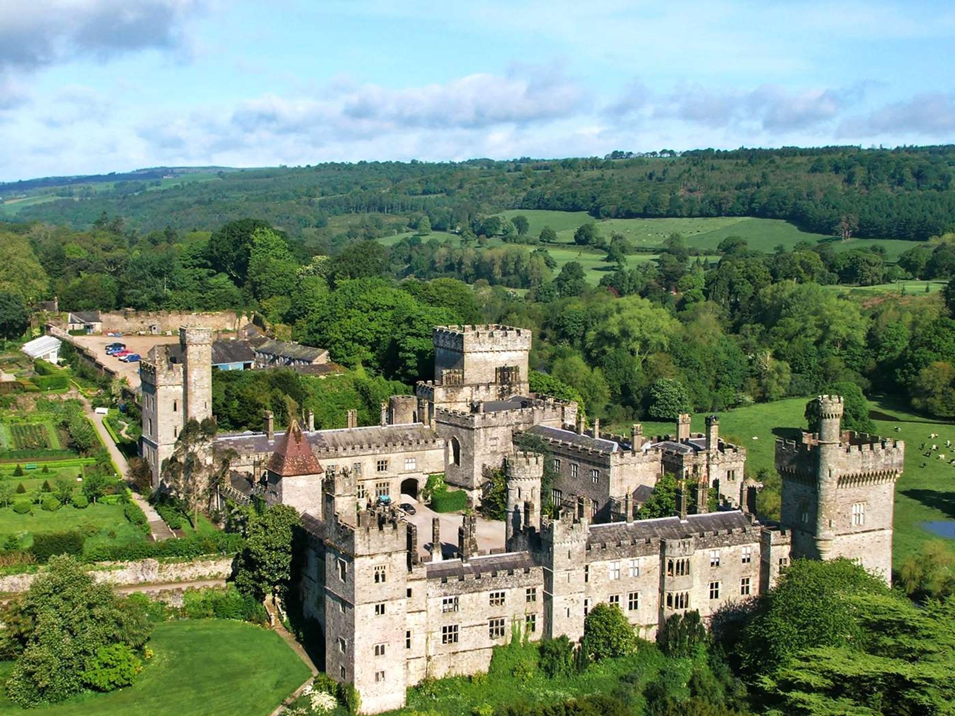 Site of Lisnamrock CastleCastle, unclassified · 2.2 mi
 Derrynaflan TrailHeritage attraction · 2.9 mi
 Bregaun HillMountain / peak · 3.2 mi
 Slieveardagh Heritage CentreVisitor information · 3.4 mi
 Gobban Saer's GraveArchaeological place · 4.4 mi
 Sweet ChestnutSweet Chestnut · 4.8 mi