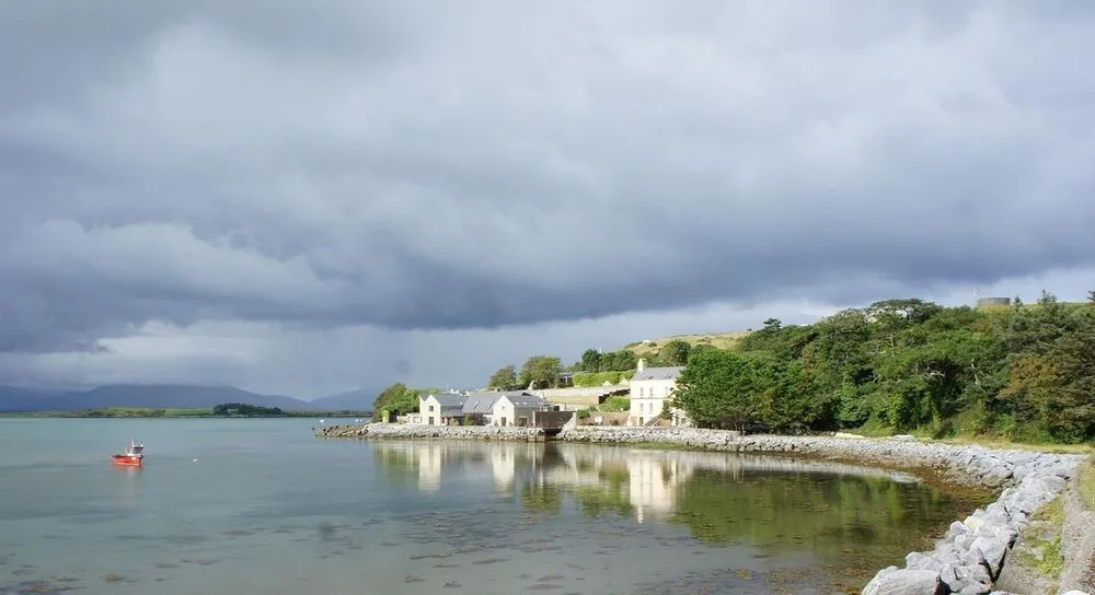
What is recorded here
In pasture 100m SW of stream that marks the townland boundary with Gortnanuv. Hut site (LI024-299----) located 55m to S. Not depicted on the OS maps. Identified by Bruff aerial photographic survey in 1986 (Bruff 62; AP 4/3681) as a circular cropmark. Visible as one of a number of semi-circular shaped areas defined by low scarps on OSi orthoimage.
See attached Bruff aerial survey image labelled Bruff 62.
Compiled by: Martin Fitzpatrick
Date of upload: 23 July 2020
A ring-barrow, likely dating to the Early Bronze Age; its significance lies in its association with early burial practices in the region and its identification through aerial photography, highlighting the value of such methods in uncovering unrecorded monuments.
The monument record does not grant public access. Check the route and ask the landowner before entering private land.
- What survives
- Recorded monument
Places near here
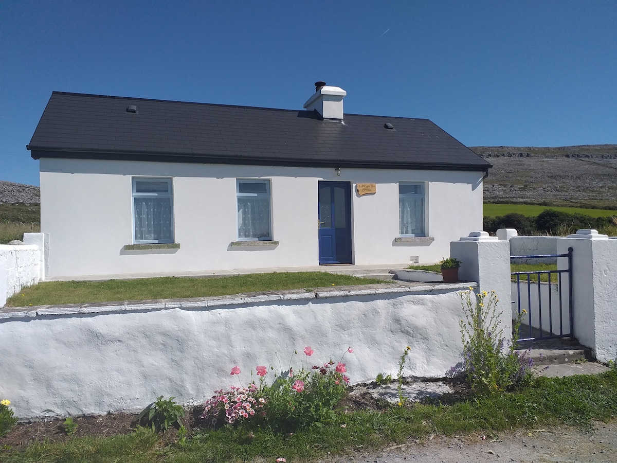 Hut site in Glen (clanwilliam By.)Hut site · 117 yd
 BarrowBarrow, ring-barrow · 294 yd
 KnockseefinMountain / peak · 883 yd
 (Site of) Nicker CastleCastle, unclassified · 1301 yd
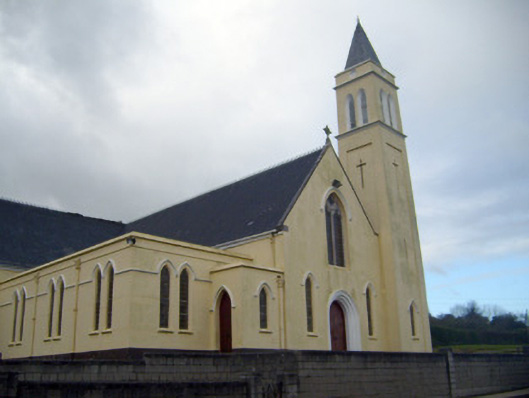 Catholic Church of Saint John the Baptistchurch/chapel · 1422 yd
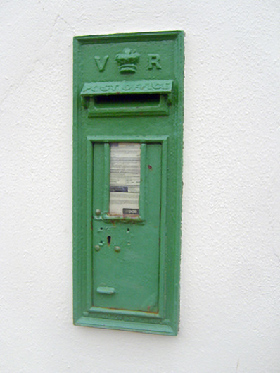 post boxpost box · 1457 yd
 Pallas MoatCastle, motte · 1.3 mi
 ToberagaddySpring · 2.0 mi
 St. Patrick's WellSpring · 2.4 mi
 Kilteely HillMountain / peak · 2.9 mi
 Flat cemetery in Knockainy WestFlat cemetery · 6.8 mi
 Ballinvreena LoopVisitor information · 12 mi
Other information
Photo: Credit not shown in the picture search · Rights wording not checked; contact us if this picture should be removed