What is recorded here
Not visible at ground level. Not marked on first two editions of the OS 6-inch maps and hachured like a ring-barrow on 1910 edition of OS 6-inch map.
The above description is derived from the published 'Archaeological Inventory of County Offaly' (Dublin: Stationery Office, 1997). In certain instances the entries have been revised and updated in the light of recent research.
Date of upload: 23 May 2011
A ring-barrow, likely dating to the Early Bronze Age. Its significance lies in its representation of early funerary practices and burial mounds in the region.
The monument record does not grant public access. Check the route and ask the landowner before entering private land.
- What survives
- Recorded monument
Places near here
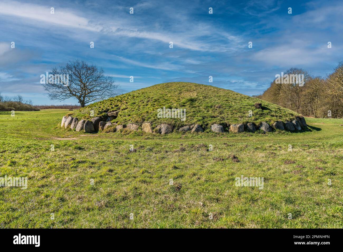 Burial mound in BallybrittBurial mound · 486 yd
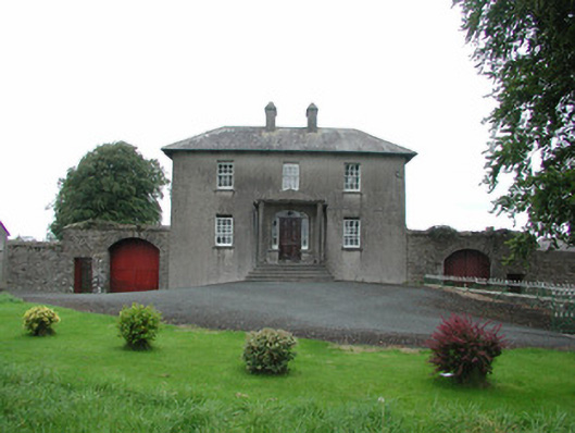 Danganreagh Housefarm house · 932 yd
 Partially hachuredCastle, motte · 1018 yd
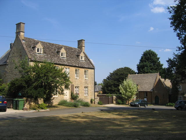 Enclosure in Heath (clonlisk By.)Enclosure · 1021 yd
 Church (in Ruins)Church · 1334 yd
 Ballybritt CastleCastle, tower house · 1553 yd
 Golden Grove WoodWood · 1.6 mi
 Golden Grove HillMountain / peak · 1.7 mi
 Leap CastleCastle · 2.0 mi
 Eagle HillMountain / peak · 2.4 mi
 Horan's WoodWood · 2.5 mi
 Millennium GardenMemorial · 2.5 mi
Other information
Photo: Credit not shown in the picture search · Rights wording not checked; contact us if this picture should be removed