What is recorded here
One of a group of four possible ring-barrows although their arrangement and state of preservation may suggest ring-feeders.
Their size and siting on a steep slope and situated to a nearby ring-barrow suggests that they may be authentic ring-barrows. It would have been an unlikely location on a steep slope for a ring-feeder, local land-owner has no memory of ever using a ring-feeder in this field. Situated on the NW-facing slope of rising ground in upland area overlooking Clodiagh river valley to W, higher ground to E. Monument consists of a low circular mound (diam. 2m; H 0.2m) enclosed by an inner fosse (Wth 3.5m; ext. D 0.2m) and outer bank (Wth 2m; ext. H 0.2m) which is visible only on the downward slope side from SW through W to NW only, not visible and doubt if ever there was an outer bank on the upslope side of the barrow. Overall the monument measures 10m in diameter N-S. This barrow has a second barrow (TN033-065003) located 12m to the SW and both of these barrows are located 20m to the W of the other two barrows (TN033-065; TN033-065001)
Compiled by: Caimin O'Brien.
Date of upload: 22 September 2008
A Neolithic ring-barrow; part of a possible group of funerary monuments. Its location and association with other barrows suggest a ritual or burial landscape of significance during the Neolithic period.
The monument record does not grant public access. Check the route and ask the landowner before entering private land.
- What survives
- Recorded monument
Places near here
 Fulacht fia in GarranakilkaFulacht fia · 916 yd
 Fulacht fia in CappanavillaFulacht fia · 1254 yd
 Saint Patrick's National Schoolschool · 2.1 mi
 Catholic Church of the Sacred Heartchurch/chapel · 2.1 mi
 CoumsallahaunMountain / peak · 2.2 mi
 KnockmaroeMountain / peak · 2.2 mi
 Site of Cashlauncreen CastleCastle, tower house · 2.7 mi
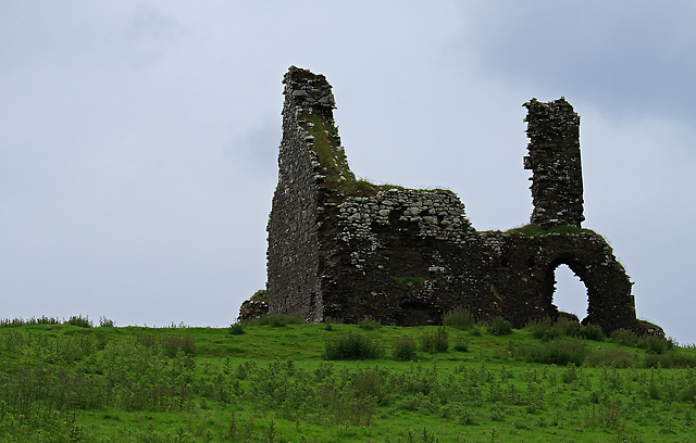 Bawn in Cullahill (glenkeen Par.)Bawn · 3.2 mi
 Killavalla WoodForest · 5.2 mi
 Silvermines ViewpointViewpoint · 8.2 mi
 Sweet ChestnutSweet Chestnut · 8.3 mi
 Our Lady Assumed into HeavenMemorial · 9.0 mi