What is recorded here
Situated on poorly drained W facing slope overlooking Clodiagh River in mountain valley. River runs through base of mountain valley from N to S. Higher ground overlooks barrow to E. Well preserved site consisting of a low oval-shaped sunken area (diam. 7.5m N-S) enclosed by a slight bank (Wth 3m; int. H 0.1m) and outer fosse (base Wth 2m; ext. D 0.2m). Overall diameter of site measures 21m N-S; 16m E-W. Not clear whether the sunken area in the centre is enclosed by a bank or is this just a bank created by the sunken interior.
Compiled by: Caimin O'Brien.
Date of upload: 22 September 2008
A Neolithic ring-barrow; dates to the early to middle Neolithic period (c. 4000–3000 BCE). Its well-preserved condition offers valuable insights into burial practices and landscape use in the mountain valleys of the region during the Neolithic.
The monument record does not grant public access. Check the route and ask the landowner before entering private land.
- What survives
- Recorded monument
Places near here
 Fulacht fia in GarranakilkaFulacht fia · 1087 yd
 Fulacht fia in CappanavillaFulacht fia · 1410 yd
 KnockmaroeMountain / peak · 2.1 mi
 CoumsallahaunMountain / peak · 2.1 mi
 Saint Patrick's National Schoolschool · 2.2 mi
 Catholic Church of the Sacred Heartchurch/chapel · 2.3 mi
 Site of Cashlauncreen CastleCastle, tower house · 2.8 mi
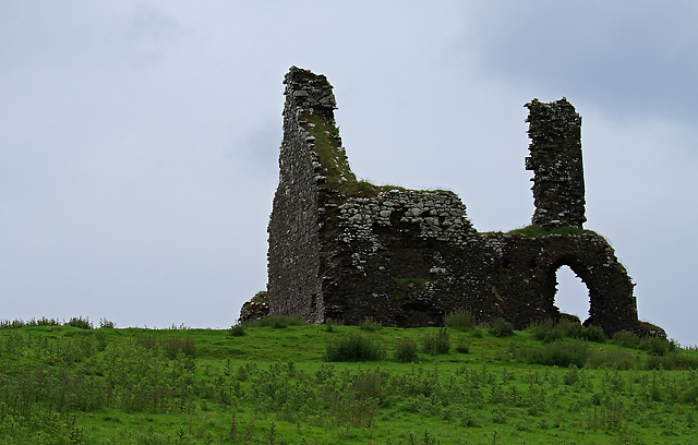 Bawn in Cullahill (glenkeen Par.)Bawn · 3.2 mi
 Killavalla WoodForest · 5.2 mi
 Silvermines ViewpointViewpoint · 8.0 mi
 Sweet ChestnutSweet Chestnut · 8.1 mi
 Our Lady Assumed into HeavenMemorial · 8.8 mi