What is recorded here
On flat pasture 280m N of the Camoge River and the townland boundary with Ballingoola. The townland boundary with Ballyblake is 200m W. Ring-barrows (LI023-214/243----) located 150m W. The ring-barrow is not depicted on historic OSi maps or visible on the OSi orthoimage taken 2005-12. Identified by Bruff aerial photographic survey in 1986 (Bruff AP 4/3656) as a ring-barrow defined by a circular fosse (ext. diam. c. 9m). The site of the monument is visible on the most recent Google Earth orthoimages taken 28/06/2018.
See attached Bruff survey image showing the site and Google Earth orthoimage
Compiled by: Edmond O’Donovan
Date of upload: 1 September 2020
A ring-barrow, likely dating to the Early Christian or medieval period, commonly associated with high-status burials in Ireland. Its presence indicates a long-standing tradition of ceremonial or funerary activity in the region.
The monument record does not grant public access. Check the route and ask the landowner before entering private land.
- What survives
- Recorded monument
Places near here
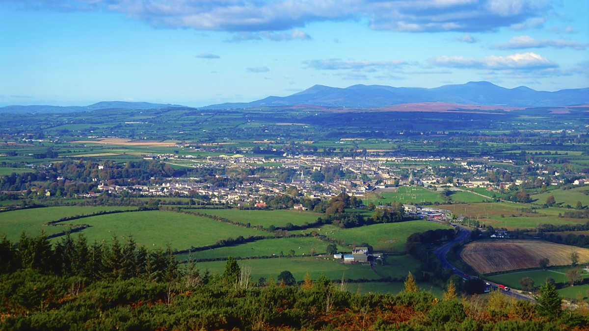 BarrowBarrow, ring-barrow · 185 yd
 Enclosure in Friarstown (clanwilliam By., Ballybricken Ed)Enclosure · 358 yd
 Longford Bridgebridge · 589 yd
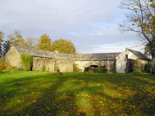 Coole Houseoutbuilding · 637 yd
 OultinedBawn · 1.0 mi
 Banoge's WellSpring · 1.0 mi
 Ballybricken Court (in ruins)Castle, tower house · 1.4 mi
 Skool HillMountain / peak · 1.5 mi
 The SpectaclesVisitor information · 1.5 mi
 Lough Gur Heritage CentreVisitor information · 1.6 mi
 Pedunculate OakPedunculate Oak · 1.8 mi
 Villiers WellSpring · 4.8 mi