What is recorded here
In good, level pasture. Monument identified during ASI fieldwork. A circular area (diam. 6.5m) defined by a fosse (Wth 2.35m; D 0.1m) and a poorly preserved outer bank (Wth 3.7m; int. H 0.1m; ext. H 0.15m).
Compiled by: Jean Farrelly
Date of upload: 24 October 2013
A Neolithic ring-barrow; dated to the 4th to 3rd millennia BCE. It represents an early form of burial monument, significant for understanding prehistoric funerary practices and landscape use in the British Isles.
The monument record does not grant public access. Check the route and ask the landowner before entering private land.
- What survives
- Recorded monument
Places near here
 Enclosure in FriarsfieldEnclosure · 404 yd
 Friarsfield Househouse · 703 yd
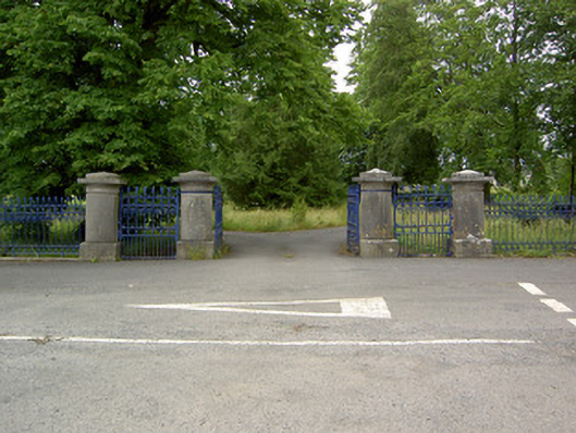 Greenane Housegates/railings/walls · 822 yd
 Enclosure in ReddanswalkEnclosure · 965 yd
 Garranacanty MoatCastle, motte · 1282 yd
 Old CastleRuins · 1532 yd
 European ashEuropean ash · 1.2 mi
 I.R.A. 3rd. Tipperary Brigade MemorialMemorial · 1.5 mi
 It's a long way to TippereryHeritage attraction · 2.1 mi
 Soloheadbeg Ambush SiteMemorial · 2.1 mi
 Soloheadbeg Ambushambush · 2.4 mi
 The RockViewpoint · 4.1 mi