What is recorded here
In improved pasture, on a high area of ground that slopes down to the SE. It is depicted on the latest (1904) ed. OS 6-inch map as an oval enclosure (dims. 36m E-W; 30m N-S). This area of the field is slightly uneven. A field boundary immediately to the W and another close to the N have been removed. According to local information, the monument was levelled in the late 1970s. It is not visible at ground level.
From the National Monuments Service (Archaeological Survey of Ireland) record TS059-102
The monument record does not grant public access. Check the route and ask the landowner before entering private land.
- What survives
- Recorded monument
Places near here
Photo credits
- National Inventory of Architectural Heritage
- Willow, Wikimedia Commons · CC BY 2.5
- Dublin Castle RIC, Wikimedia Commons · Public domain
- Graham Horn, Wikimedia Commons · CC BY-SA 2.0
- Garry Dickinson, Wikimedia Commons · CC BY-SA 2.0
- Colin Park, Geograph · CC BY-SA 2.0
- Garry Dickinson, Geograph · CC BY-SA 2.0
- N Chadwick, Geograph · CC BY-SA 2.0
- N Chadwick, Wikimedia Commons · CC BY-SA 2.0
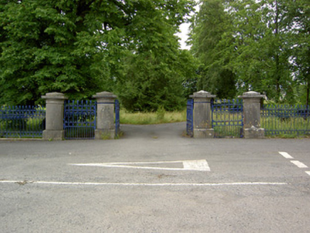 Greenane HouseGates/railings/walls · 149 ydEnclosure in GreenaneEnclosure · 297 yd
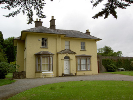 Friarsfield HouseHouse · 317 yd
 European ash1.7 mi
 Soloheadbeg AmbushAmbush · 1.9 mi
 The Maid of ErinMemorial · 2.1 mi
_-_geograph.org.uk_-_6501949.jpg/250px-Castles_of_Munster,_Kilfeakle,_Tipperary_(1)_-_geograph.org.uk_-_6501949.jpg "Photo: Garry Dickinson, Wikimedia Commons · CC BY-SA 2.0") Kilfeakle Castle (in ruins)Castle, tower house · 2.8 mi
Kilfeakle Castle (in ruins)Castle, tower house · 2.8 mi The RockViewpoint · 4.3 mi
 Bansha CastleCastle · 4.3 mi
 Christ the KingViewpoint · 4.9 mi
 Glen of AherlowViewpoint · 5.0 mi
 SlievenamuckMountain / peak · 6.5 mi
More archaeology and monuments in County Tipperary · All of County Tipperary
What do you know about this place?