What is recorded here
In the SW corner of a modern pasture field, located at the break of slope at the N edge of a hill or small ridge, in an area of sharply undulating limestone terrain. The ground falls away steeply to N and NE into a natural hollow. Flat-topped circular mound (diam. 13m overall, flat top 7.3m; H 1.45m at W, 2.4m at E) of earth and stone, enclosed by remnants of a fosse and external bank. The mound slope at NE-SE is higher and steeper to compensate for the sharp natural fall of ground. The fosse (Wth 1.8m) at W-N appears as a very shallow depression, changing at NE-SE to a flat terrace (Wth 2.2.5m). It is truncated at S by a later E-W field wall. The external bank can be traced as a slight rise (Wth 1.2-1.4m; H 0.25m) at NW-NNW, petering out at N. At S and SW it has been truncated by later field walls. There is a cashel (MA121-024001) 10m to S-SE of the barrow on top the same hill.
Compiled by: Jane O'Shaughnessy
Date of upload: 22 December 2014
A Neolithic ring barrow; likely dates to the Early to Middle Bronze Age. It represents a type of burial monument associated with the transition from collective to individual burials in the British Isles.
The monument record does not grant public access. Check the route and ask the landowner before entering private land.
- What survives
- Recorded monument
Places near here
 Enclosure in Frenchbrook SouthEnclosure · 234 yd
 IndicatedFairy fort / stone ringfort · 827 yd
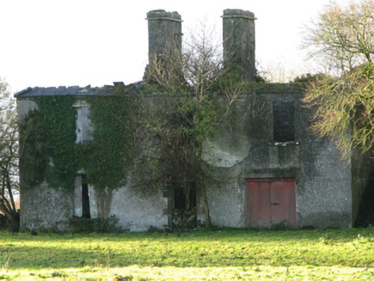 Fountainhillfarm house · 1248 yd
 Bawn in Cregduff (kilmaine By., Kilmainemore Par.)Bawn · 1470 yd
 Church in ruinsChurch · 1676 yd
 Bawn in Kilkeeran (kilmaine By., Kilmainebeg Par.)Bawn · 1.3 mi
 Cregg PlantationForest · 3.5 mi
 European YewEuropean Yew · 3.6 mi
 Gibbs IslandsIslet · 4.8 mi
 LabbadermotCave · 5.1 mi
 Easter IslandIslet · 5.3 mi
 School of FalconryHeritage attraction · 6.5 mi