What is recorded here
At the crest of a N-facing slope. Listed as 'Enclosure' in the SMR (1992) and the RMP (1996). A circular grass-covered mound (diam. of base 30.5m E-W; 29.5m N-S; H 0.8m at W to 1.4m at S) defined by a flat-bottomed fosse (Wth 11m; ext. D 0.5m at WSW to 1.4m NW-SE), and an outer bank (at WSW: Wth 8m; ext. H 0.8m; at N: Wth 12m; ext. H 0.6m; at ENE: Wth 6m; ext. H 0.7m) which is reduced to a scarp (H 0.4m) SE-SW. The fosse was re-cut as a drain (Wth of base 1.6-4.5m; D 0.4m) SE-NW with an exit drain at S. There is an entrance (Wth 7m) in the bank and a causeway (Wth 7m) at E which lead to a subrectangular hut site (CL038-034002-) on the mound, and there is a modern entrance through the bank at NW (max. ext. dims. 74m N-S; 66m E-W).
Compiled by: Michael Moore
Date of upload: 28 April 2020
Ring-barrow, likely dating to the Early Bronze Age. Its construction and surrounding fosse suggest a significant funerary or ceremonial function, typical of burial monuments from this period.
The monument record does not grant public access. Check the route and ask the landowner before entering private land.
- What survives
- Recorded monument
Places near here
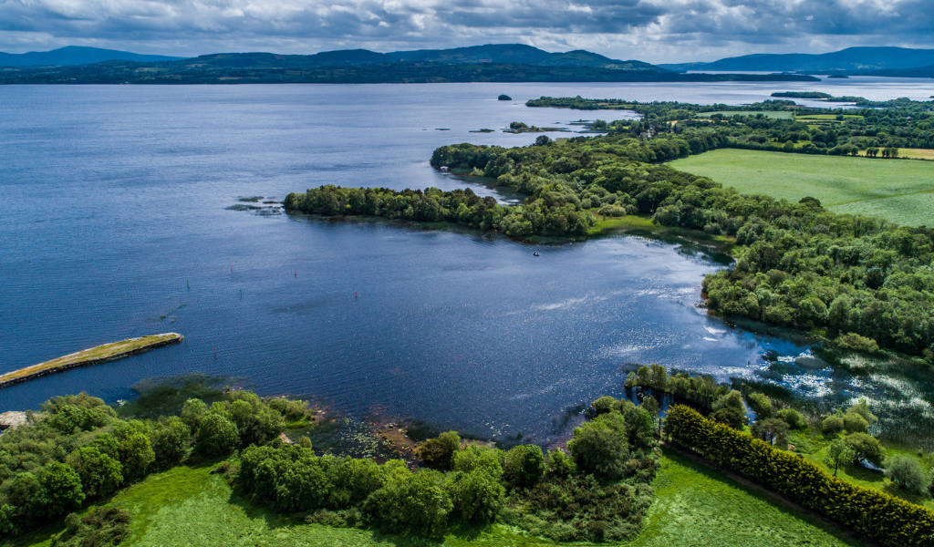 IndicatedEcclesiastical enclosure · 298 yd
 Finnor Castle (Site of)Castle, unclassified · 556 yd
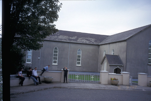 Saint Mary's Roman Catholic Churchchurch/chapel · 756 yd
 LisnacloonaghFairy fort / earthen ringfort · 1.3 mi
 Kilmurry Church (in ruins)Church · 1.3 mi
 Tromra CastleCastle, tower house · 2.0 mi
 Emlagh PointHeadland · 2.2 mi
 Seafield North BeachBeach / strand · 2.6 mi
 Spanish Point BeachBeach / strand · 2.8 mi
 Lurga PointHeadland · 3.0 mi
 Spanish PointHeadland · 3.7 mi
 Mutton IslandIsland · 4.2 mi