What is recorded here
In pasture 180m SE of enclosure (LI023-058----). Not depicted on the OS maps. Identified by Bruff aerial photographic survey in 1986 (Bruff 22; AP 4/3665) as circular-shaped area (approx. diam. 30m) defined by a scarp. Upstanding monument (approx. ext. diam. 34m) clearly visible as a circular-shaped area (approx. diam. 18m) enclosed by a fosse and outer bank on OSi orthoimage. Pond immediately to NNE and a second pond to SSE. Cropmark of levelled monument visible on Google Earth orthoimage dated 25/05/2017. Same site as LI024-177----.
Compiled by: Martin Fitzpatrick
Date of upload: 21 July 2020
A Neolithic ring-barrow; significant as an early funerary monument identified through aerial survey, indicating prehistoric burial practices in the region.
The monument record does not grant public access. Check the route and ask the landowner before entering private land.
- What survives
- Recorded monument
Places near here
 Field system in Ballyphilip (clanwilliam By.)Field system · 867 yd
 BarrowBarrow, ring-barrow · 946 yd
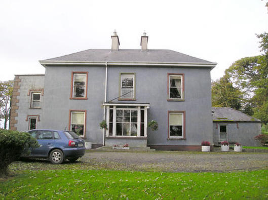 Cloverfield Housecountry house · 1279 yd
 Aglishcormick Grave YardChurch · 1601 yd
 St. Patrick's WellSpring · 1.7 mi
 CastleCastle, unclassified · 2.0 mi
 Kilteely HillMountain / peak · 2.1 mi
 KnockseefinMountain / peak · 2.1 mi
 Ballyvorneen Ho.Castle, tower house · 2.2 mi
 ToberagaddySpring · 3.6 mi
 Flat cemetery in Knockainy WestFlat cemetery · 5.7 mi
 Ballinvreena LoopVisitor information · 11 mi