What is recorded here
Geophysical Survey carried out in 2000 and 2001 in the fields to the S of Durrow church (OF009-005013-) and graveyard (OF009-005009-) identified the remains of two possible ring barrows (OF009-005027-) which appear to have been cut across by the later monastic enclosure (OF009-005003-) at S (O'Brien 2012, 121).
Compiled by: Caimin O’Brien
Date of upload: 29 April 2014
Ring-barrow, likely dating to the Early Bronze Age. These burial monuments are significant for understanding prehistoric funerary practices and social structures in the region.
The monument record does not grant public access. Check the route and ask the landowner before entering private land.
- What survives
- Recorded monument
Places near here
 BarrowBarrow, ring-barrow · 22 yd
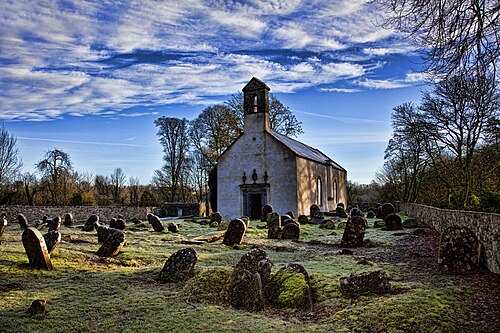 CrossCross, High cross · 173 yd
 St Columbas Ch (Disused)Church · 189 yd
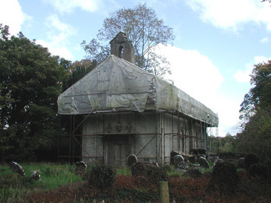 Durrow Abbeychurch/chapel · 190 yd
 Durrow MoatCastle, motte · 321 yd
 St. Columba's WellSpring · 408 yd
 High WoodWood · 1026 yd
 Shancourt or MeeneglishCastle, unclassified · 1.0 mi
 European ashEuropean ash · 1.4 mi
 Durrow HillMountain / peak · 1.4 mi
 Bonfire HillMountain / peak · 3.3 mi
 Grand Canal WayWalking route · 3.5 mi