What is recorded here
Situated on flat poorly drained land. Small circular-shaped area (approx. diam. 7m) defined by a fosse and external bank visible on Digital Globe aerial photography.
Compiled by: Caimin O'Brien
Date of upload: 11 February 2019
A ring-barrow, likely dating to the Early Bronze Age. Its construction as a burial monument with a surrounding fosse and external bank reflects typical funerary practices of the period in Atlantic Europe.
The monument record does not grant public access. Check the route and ask the landowner before entering private land.
- What survives
- Recorded monument
Places near here
 Fieldtown CastleCastle · 956 yd
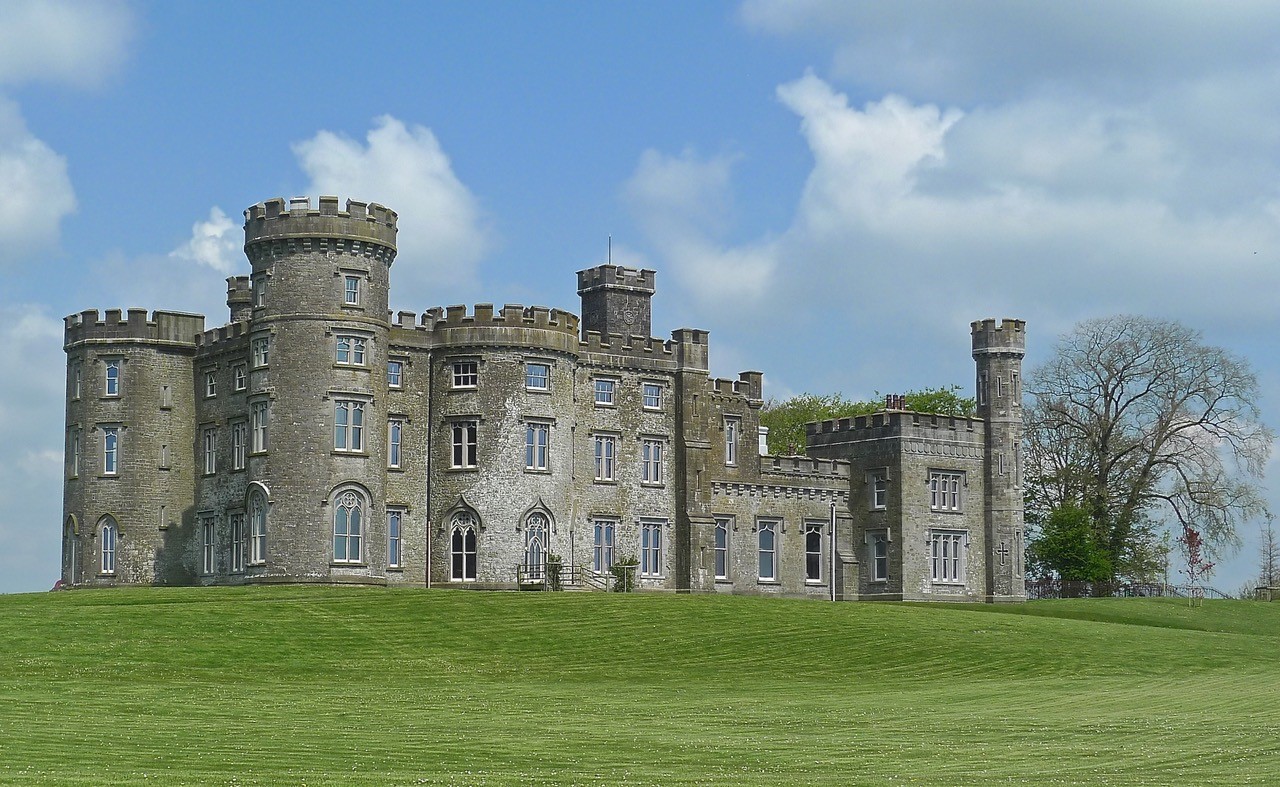 CastleHouse, fortified house · 1017 yd
 IndicatedRoad, hollow-way · 1036 yd
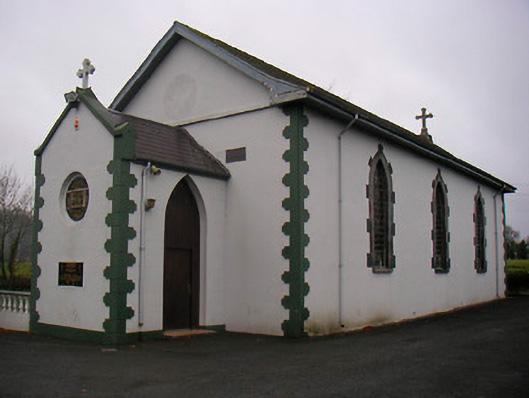 Catholic Church of the Little Flower and Our Lady of Good Counselchurch/chapel · 1579 yd
 Tober FintanHoly well · 1657 yd
 Cross in Tuitestown (moyashel & Magheradernon By.)Cross · 1701 yd
 Ancient Ring FortWood · 1.4 mi
 WestmeathVisitor information · 1.5 mi
 Hill of UisneachMountain / peak · 4.1 mi
 Carrickphilbin IslandIslet · 4.6 mi
 Srudarra IslandIslet · 4.8 mi
 European ashEuropean ash · 5.0 mi