What is recorded here
Located at the crest of a steep N-facing slope. It is not marked on any edition of the OS 6-inch map but is visible on aerial photographs (GSIAP: N 722/723) and on later series. This is a circular grass-covered mound (diam. 14.8m E-W; H 0.6m at W) defined by a fosse (at W: Wth of base 2.2m; ext. D 0.9m) and an outer bank (at W: Wth of base 4m; ext. H 0.4m). The bank and fosse meld into the slope E-SW and a large stone (dims 1.7m x 1m) is lying in the fosse at E (max. ext. diam. 29.6m E-W). It is bisected by an ENE-WSW fence and survives best N of this feature.
The above description is derived from the published 'Archaeological Inventory of County Meath' (Dublin: Stationery Office, 1987). In certain instances the entries have been revised and updated in the light of recent research.
Compiled by: Michael Moore
Date of revision: 31 October 2018
A Neolithic ring-barrow; significant as a rare and early form of burial monument in the British Isles, reflecting early funerary practices and social organisation.
The monument record does not grant public access. Check the route and ask the landowner before entering private land.
- What survives
- Recorded monument
Places near here
 Drumlerry WetlandForest · 793 yd
 Cross in RahardCross · 1653 yd
 Oliver Plunkett memorialMemorial · 1712 yd
 CrossCross, Wayside cross · 1716 yd
 Loughcrew Megalithic TombsHeritage attraction · 1.4 mi
 Site of Old CastleCastle, unclassified · 1.4 mi
 Slieve Na CalliaghMountain / peak · 1.4 mi
 Earthen TumulusCastle, motte · 1.4 mi
 IslandMountain / peak · 1.9 mi
 LoughcrewMegalithic tomb cemetery · 1.9 mi
 C11Named rock · 2.0 mi
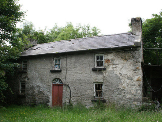 Behernagh Housefarm house · 2.2 mi