What is recorded here
Situated on the broad ridge of Dowth c. 190m W of Dowth henge (ME020-010----). A remote sensing survey (12R0080 ext.) conducted over most of the Henge field during 2014 recorded a subcircular enclosure (dims c. 44m N-S; c. 41m E-W) defined by a wide fosse (Wth 5m plus) and a possible external bank, with a possible central structure in its interior. This enclosure could lie within a larger enclosure, as suggested by a quiet magnetic ‘halo’ effect surrounding it. (Ní Lionáin and Davis 2016, 152)
Compiled by: Michael Moore
Date of upload: 9 December, 2016
A Neolithic ring-barrow; associated with the Dowth henge complex, it is significant as part of a broader ceremonial landscape in the Boyne Valley.
The monument record does not grant public access. Check the route and ask the landowner before entering private land.
- What survives
- Recorded monument
Places near here
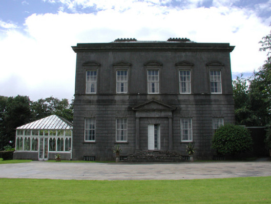 Dowth Hallcountry house · 192 yd
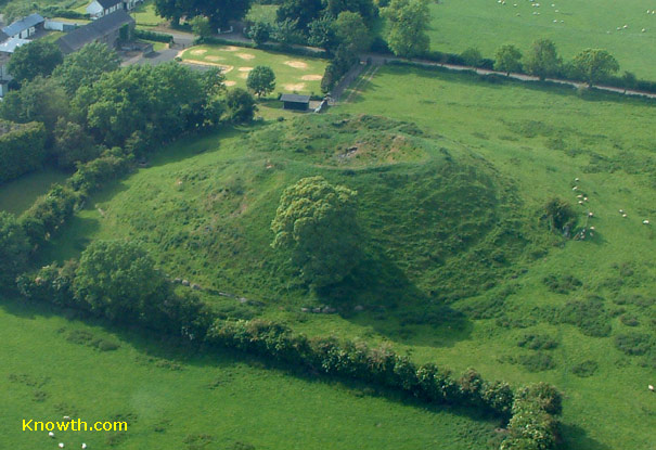 Concentric enclosure in DowthConcentric enclosure · 648 yd
 Dowth CastleCastle, tower house · 688 yd
 Church (in Ruins)Church · 748 yd
 St. Bernards WellHoly well · 848 yd
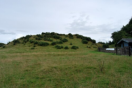 DowthNeolithic passage tomb · 892 yd
 Glenmore ForestWood · 999 yd
 Proudfootstown CastleCastle, unclassified · 1104 yd
 Brú na Bóinne Visitor Centre AccessHeritage attraction · 1593 yd
 Brú na Bóinne Visitors CentreVisitor information · 1.0 mi
 European YewEuropean Yew · 1.2 mi
 Battle of the BoyneMajor battlefield · 1.3 mi