What is recorded here
Visible on an aerial photograph (CUCAP BDU 21) as the cropmark of a circular area (est max diam. c. 13m), defined by a narrow fosse with suggestions of an outer bank.
Compiled by: Gearóid Conroy
Date of upload: 10 June 2011
A ring-barrow, likely dating to the Early Bronze Age, associated with burial practices involving a circular fosse and possible outer bank; its presence indicates prehistoric funerary activity in the Curragh region.
The monument record does not grant public access. Check the route and ask the landowner before entering private land.
- What survives
- Recorded monument
Places near here
 Enclosure in Curragh (kildare Ed)Enclosure · 94 yd
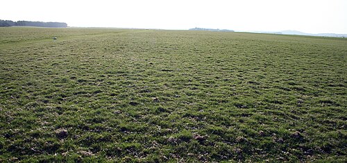 The CurraghEarthwork · 615 yd
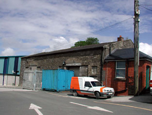 Kildare Railway Stationstore/warehouse · 1651 yd
 The Bungalowhouse · 1.0 mi
 Castle in ruinsCastle, Anglo-Norman masonry castle · 1.2 mi
 CastleCastle, motte · 1.3 mi
 Saint Fiachra's GardenHeritage attraction · 1.8 mi
 Bee-bee treeBee-bee tree · 1.8 mi
 Horse MuseumMuseum · 1.9 mi
 Dawn RedwoodDawn Redwood · 1.9 mi
 Bithia Mary CrokerMemorial · 5.6 mi
 Grand Canal WayVisitor information · 7.5 mi