What is recorded here
On a low knoll at the S edge of The Curragh. Visible on an aerial photograph (DoD 1999). Another ringbarrow (KD028-005----) lies on slightly higher ground c. 115m to the SW. A fairly well-preserved, circular area (diam 12.8m) is defined by a fosse (Wth 2.8-3.3m; D 0.2-0.8m) and a low, earthen, outer bank (Wth 3.4-4.8m; H 0.2-0.4m), which has been pushed into the fosse between SSW and NW. There is an entrance gap (Wth 2.5m) and corresponding causeway (Wth 1.6m) at SSW.
Compiled by: Gearóid Conroy
Date of upload: 10 June 2011
A ring-barrow, likely dating to the Early Bronze Age. Its location and form suggest a funerary monument associated with early pastoral communities in the region.
The monument record does not grant public access. Check the route and ask the landowner before entering private land.
- What survives
- Recorded monument
Places near here
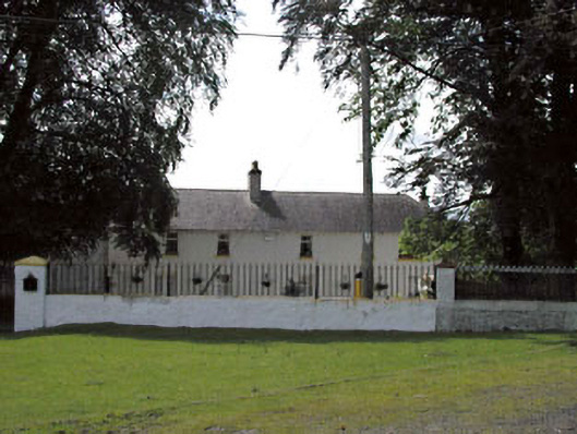 Thornton Lodgestables · 177 yd
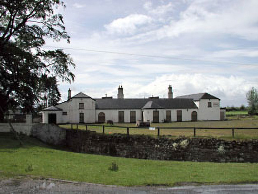 Jockey Hallhouse · 191 yd
 ElderElder · 595 yd
 Enclosure in Curragh (ballysax East Ed)Enclosure · 1190 yd
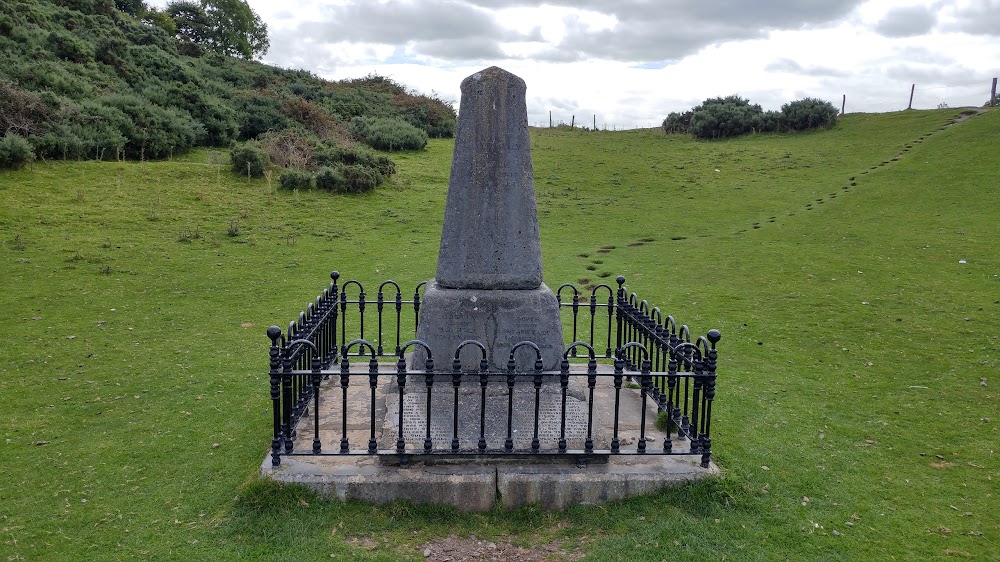 Donnelly's HollowMonument · 1.1 mi
 CastleCastle, unclassified · 2.3 mi
 Castle in RuinsCastle, tower house · 2.4 mi
 Newbridge SilverwareMuseum · 2.9 mi
 Dawn RedwoodDawn Redwood · 3.7 mi
 Saint Fiachra's GardenHeritage attraction · 3.7 mi
 Battle of Kilrushbattle · 5.4 mi
 History of Moat of ArdscullVisitor information · 8.7 mi