What is recorded here
On a low hillock in upland area with good views in all directions. Circular flat topped mound (top diam. 6.4m; base diam. 13m; ext. H 2m) enclosed by a wide flat bottomed fosse (Wth 2m; ext. H 2m) with possible external bank. Large cavity on top of mound due to modern disturbance. Large boulder beside cavity may be result of field clearance/disturbance.
The above description is derived from the published 'Archaeological Inventory of County Offaly' (Dublin: Stationery Office, 1997). In certain instances the entries have been revised and updated in the light of recent research.
Date of upload: 23 May 2011
A Neolithic ring-barrow, dating to approximately 3000–2500 BCE, likely used as a single or multiple burial monument. Its location and construction suggest it was a significant ceremonial or funerary site within a prehistoric landscape.
The monument record does not grant public access. Check the route and ask the landowner before entering private land.
- What survives
- Recorded monument
Places near here
 Holy well in Cumber UpperHoly well · 761 yd
 Cumber HillMountain / peak · 1289 yd
 Broom HillMountain / peak · 1301 yd
 Kinnitty ForestForest · 1303 yd
 IndicatedHillfort · 1305 yd
 Tulla Castle (site of)Archaeological place · 1.4 mi
 Site of Tulla CastleCastle, unclassified · 1.5 mi
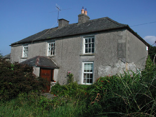 Tulla Housefarm house · 1.5 mi
 Saint Dominick's WellSpring · 1.5 mi
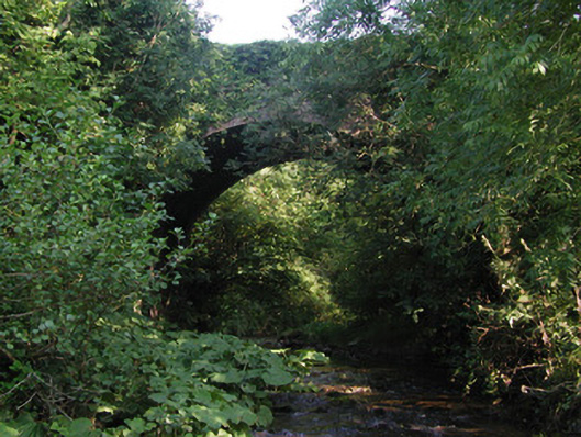 Aghagurty Bridgebridge · 2.0 mi
 Kinnitty Castle LoopWalking route · 2.1 mi
 Waypoint 1Visitor information · 2.2 mi