
What is recorded here
Situated to the W of Mountseskin Road. Marked on the current 1937 OS 6-inch map as a circular enclosure, truncated along the N by a field boundary (diam. c. 30m). According to Ua Broin (1957, 46) this area was called 'Carraig na ffiach'. Part of the site was demolished during field division in the 19th century. Not visible at ground level (Healy 1975, 1-19).
Compiled by: Geraldine Stout and Padraig Clancy
Revised upload on: 6 July 2018
The monument record does not grant public access. Check the route and ask the landowner before entering private land.
- What survives
- Recorded monument
Places near here
 Mound in Raheen (newcastle By.)Mound · 417 yd
 BarrowBarrow, ring-barrow · 466 yd
 Verschoyle's HillMountain / peak · 812 yd
 Bridge in Lugg,sladeBridge · 1434 yd
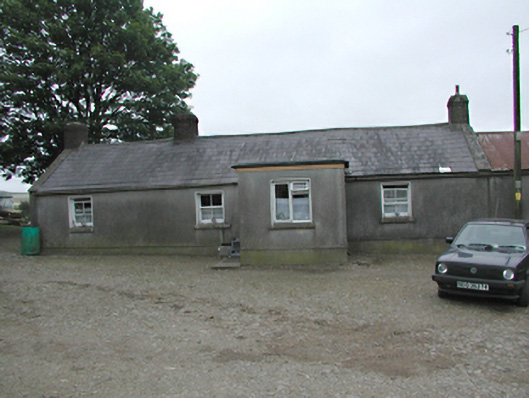 farmyard complexfarmyard complex · 1471 yd
 KnackannaveaMountain / peak · 1503 yd
 CastleCastle, tower house · 1.8 mi
 Graveyard in BallymanaGraveyard · 1.8 mi
 Rathcoole WoodlandWood · 2.0 mi
 Meadow WildlifeVisitor information · 2.2 mi
 Inniscara GalleryGallery · 2.5 mi
 Early Stadium DesignHeritage attraction · 3.3 mi
Other information
Photo: Credit not shown in the picture search · Rights wording not checked; contact us if this picture should be removed