
What is recorded here
In flat pasture 1.5km W of the Killeenagarriff River. Possible ringfort (LI006-029----) located 350m to the SE. The description is based upon its depiction on the 1897 OS 25-inch map and on Digital Globe orthophotos taken 2011-13 and Google Earth orthoimage taken 28/06/2018. A raised circular-shaped area (internal dims. c. 26m W) surrounded by an external fosse (c. 5m W). The enclosure appears to have further concentric outer ditches suggesting that it may have been a bivallate or even a trivallate enclosure that could have been up to 60m in diameter. Similar multivallate enclosures, such as Rathanny (LI040-026001-) in Co. Limerick has been attributed to the Bronze Age and is considered as a barrow or burial mound. This monument may be similar to a triple-ditched barrow (LI048-092----) in the townland of Ballyroe Lower.
See attached Google Earth orthophotos
Compiled by: Edmond O’Donovan
Date of upload: 22 July 2020
A ring-barrow, likely dating to the Early Medieval period, possibly associated with a nearby ringfort; its significance lies in its potential to provide insights into burial practices and settlement patterns in the region.
The monument record does not grant public access. Check the route and ask the landowner before entering private land.
- What survives
- Recorded monument
Places near here
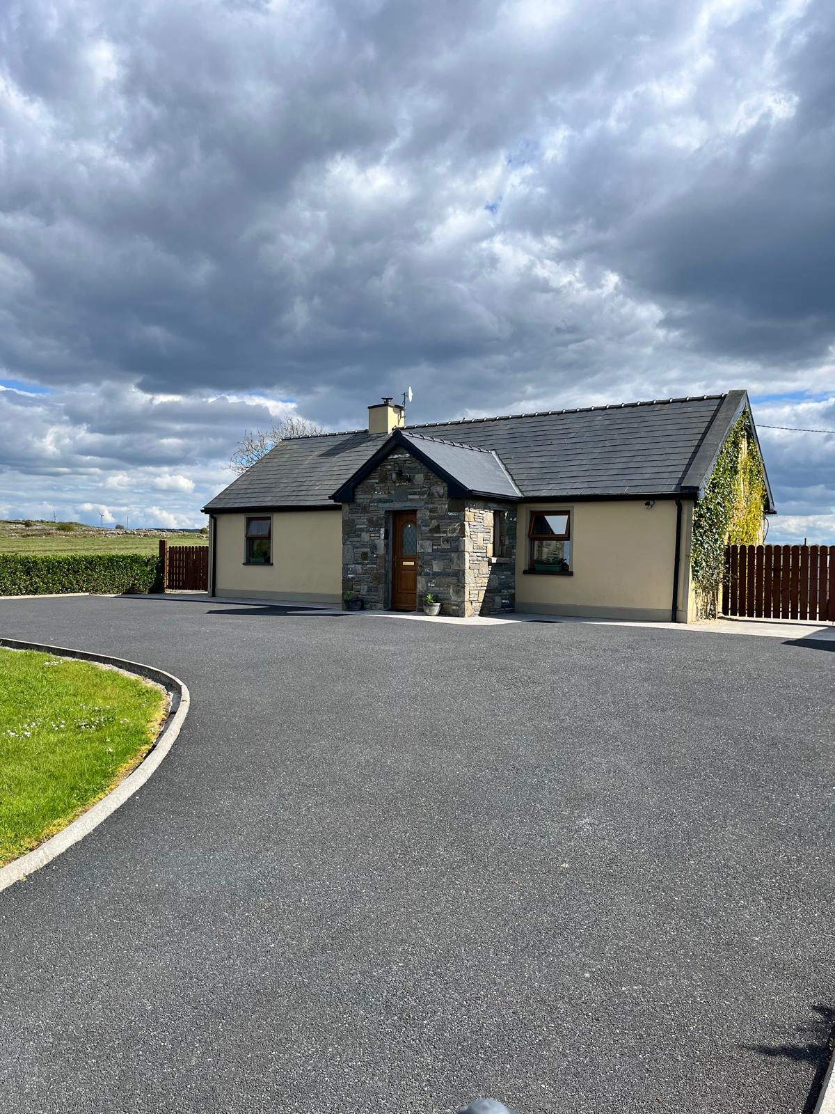 Partially hachuredFairy fort / earthen ringfort · 638 yd
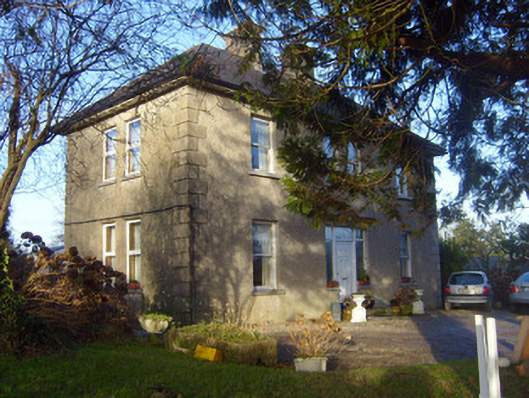 The Orchardshouse · 770 yd
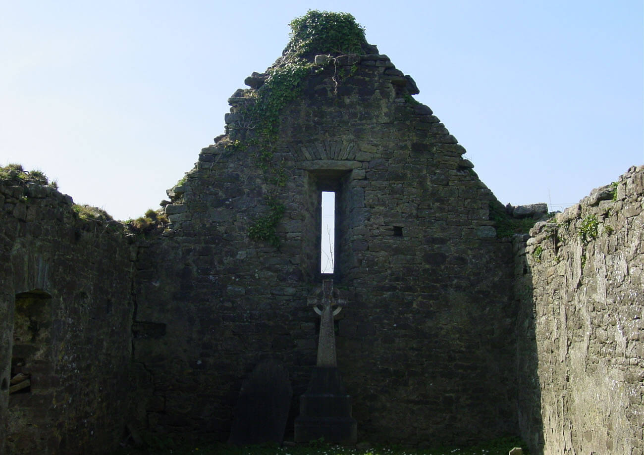 Burial in AnnaghBurial · 948 yd
 Annagh Bridgebridge · 1626 yd
 CastleCastle, unclassified · 1.5 mi
 Sliev Felim WayVisitor information · 2.4 mi
 Graveyard in AbingtonGraveyard · 2.8 mi
 Site of Derryleigh CastleCastle, unclassified · 3.5 mi
 Slieve Felim WayWalking route · 4.9 mi
 The Pollagh TrailNature reserve · 7.1 mi
 KnockseefinMountain / peak · 8.3 mi
 Doonan's HillMountain / peak · 9.5 mi
Other information
Photo: Credit not shown in the picture search · Rights wording not checked; contact us if this picture should be removed